Arctic Circle Trail | OUR STAGES
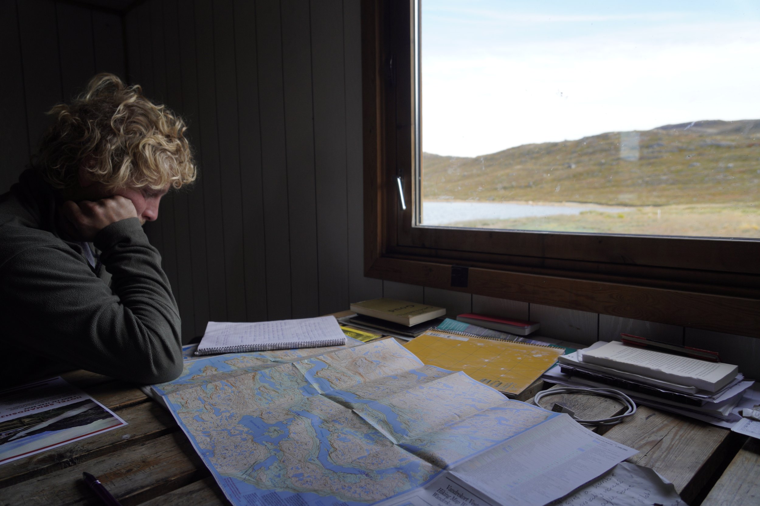
Here you’ll find a description of the stages we hiked along the ACT. Since we strongly believe in the HYOH (Hike Your Own Hike) principle, we also provide more information about alternative start points, thru hike direction and possible variants along the trail.

Our ACT Stages
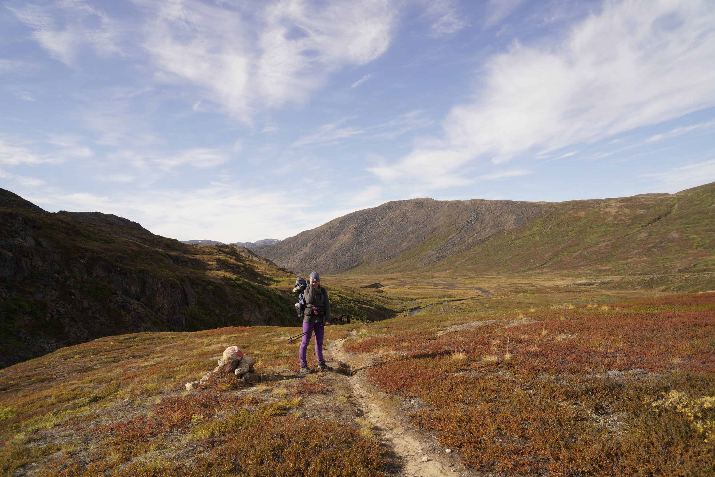
We thru hiked the Arctic Circle Trail in 7 stages, elencated here below. You will find a short stage overview in terms of distance, elevation gain and loss. Additionally, we wrote down some important remarks for each stage and some memories for us to remember.
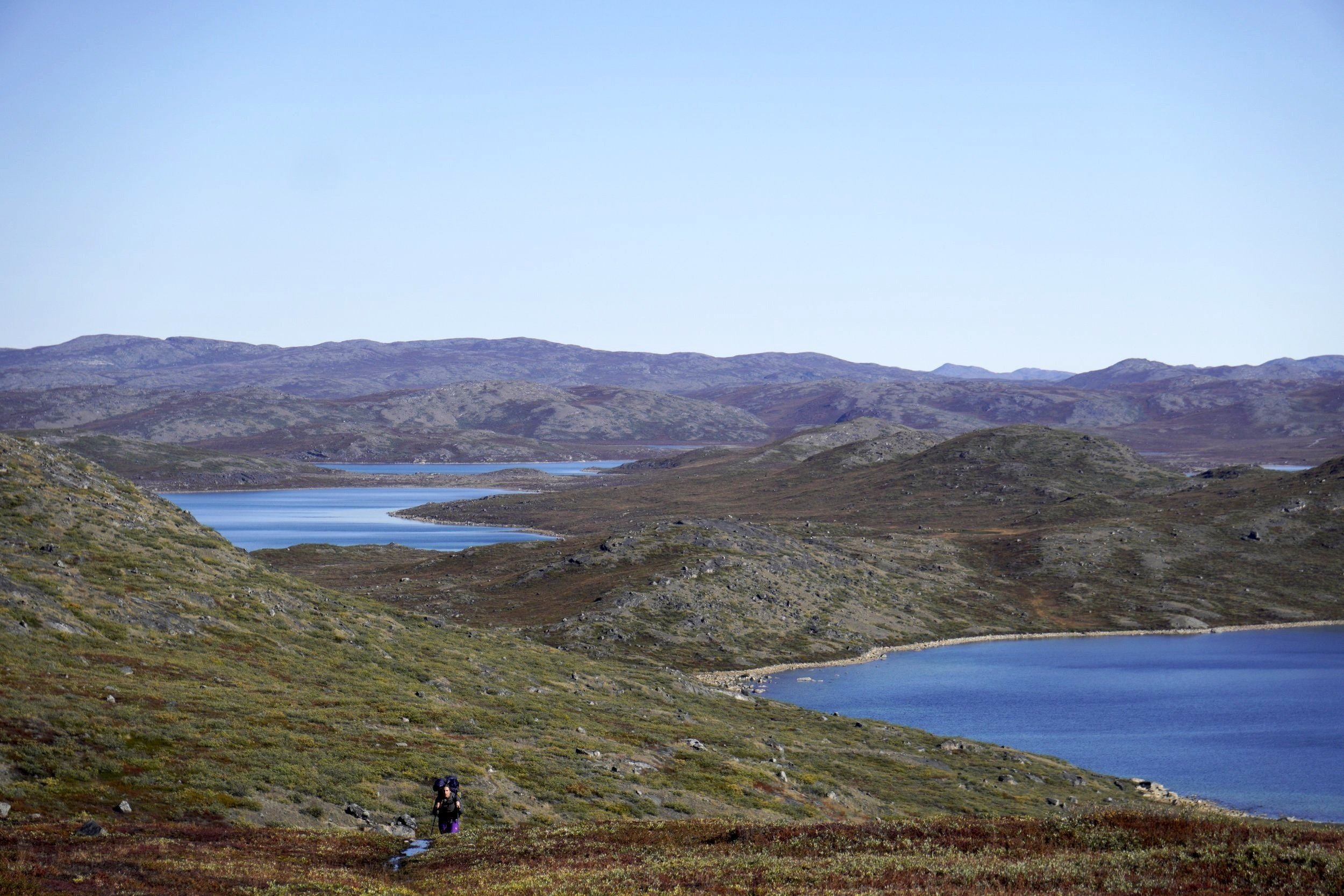
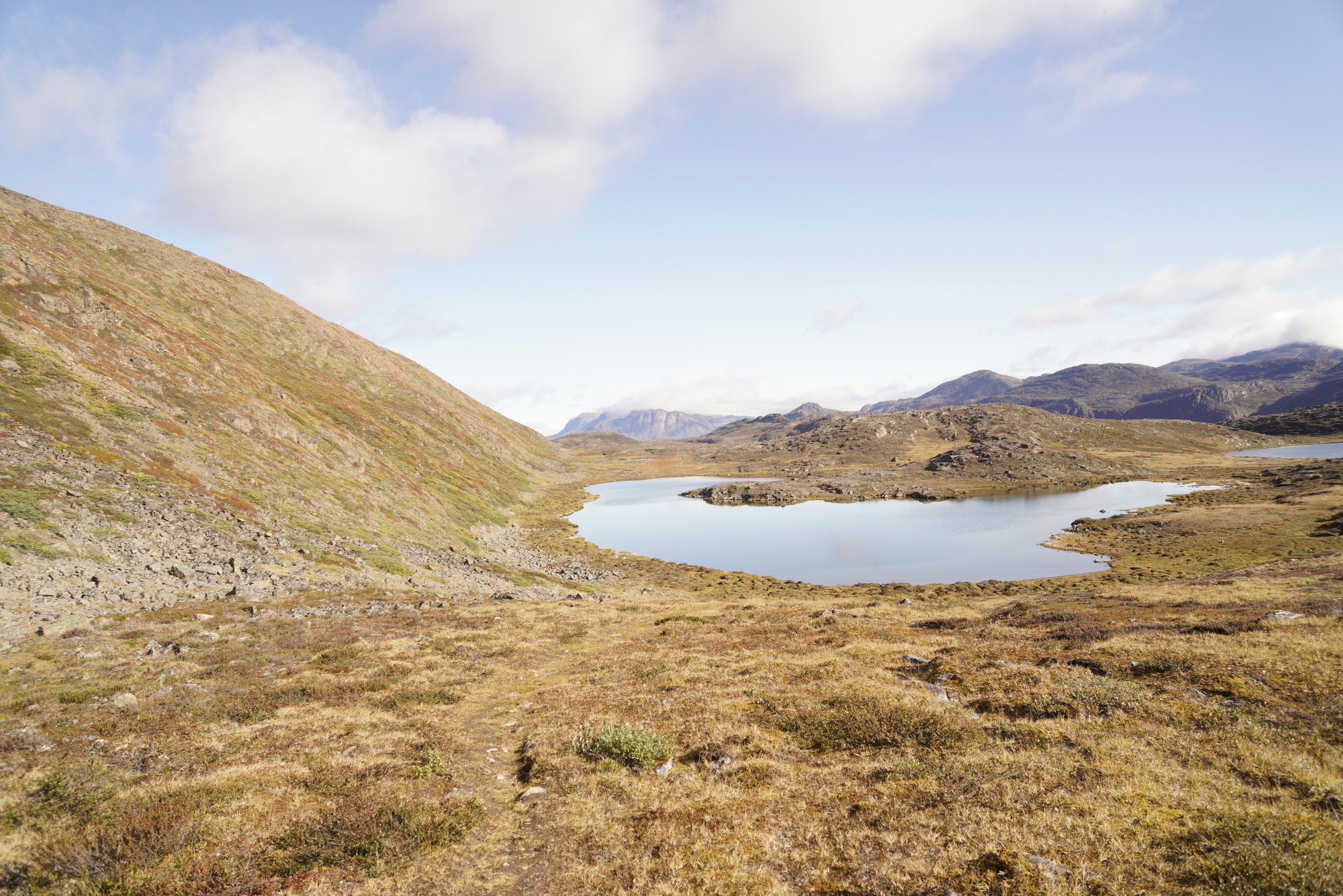
STAGE 1: KELLY VILLE - KATIFFIK
Distance: 24 km
Elevation Gain: 600 m
Elevation Loss: 590 m
Walking Time: 5h 45min
IMPORTANT REMARKS
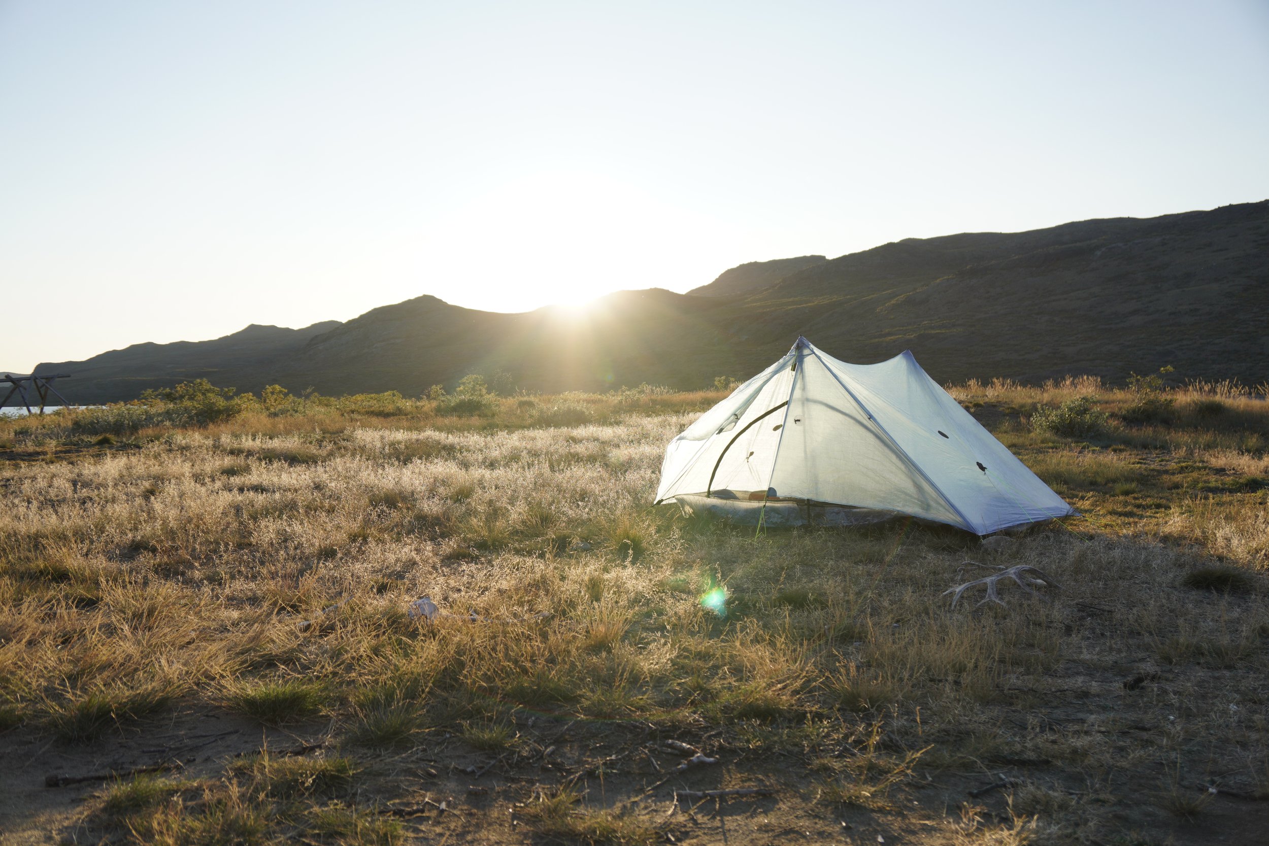
Since we were eager to escape civilization, we decided to start our thru hike directly at Kelly Ville, to avoid walking the first 16 km along the road from Kangerlussuaq. You can chose your own start under Alternative Start Points. Although the stage was not tough, we were quite tired at the end of the day because of the heavy weight on our backs.
MEMORIES
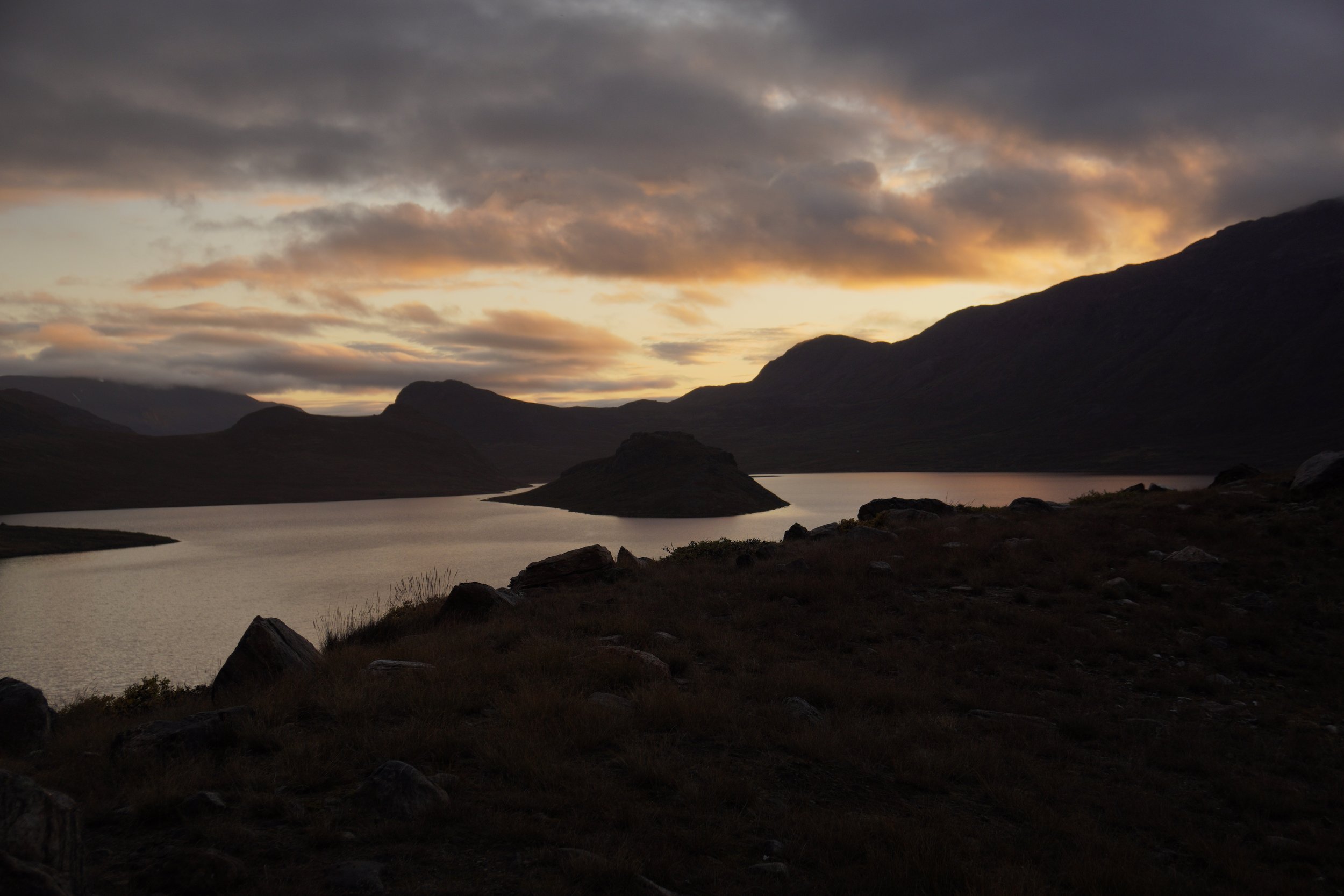
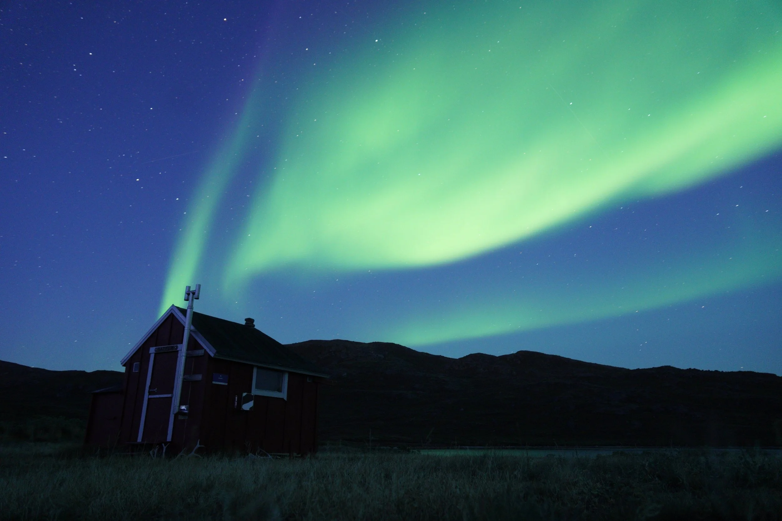
We started hiking at around 10:00. This first stage was very nice and the views were amazing. As soon as we took our first break, we realized that the silence surrounding us was impressive. In Katiffik, we followed the advice of some people we met the day before, and set an alarm at 23:00 for trying to spot the northern lights… waves of blue, green and pink colors were dancing in the sky above us, a magic moment that will stay with us forever.

STAGE 2: KATIFFIK - CANOE CENTER
Distance: 20 km
Elevation Gain: 0 m
Elevation Loss: 0 m
Paddling Time: 5h 30min
IMPORTANT REMARKS
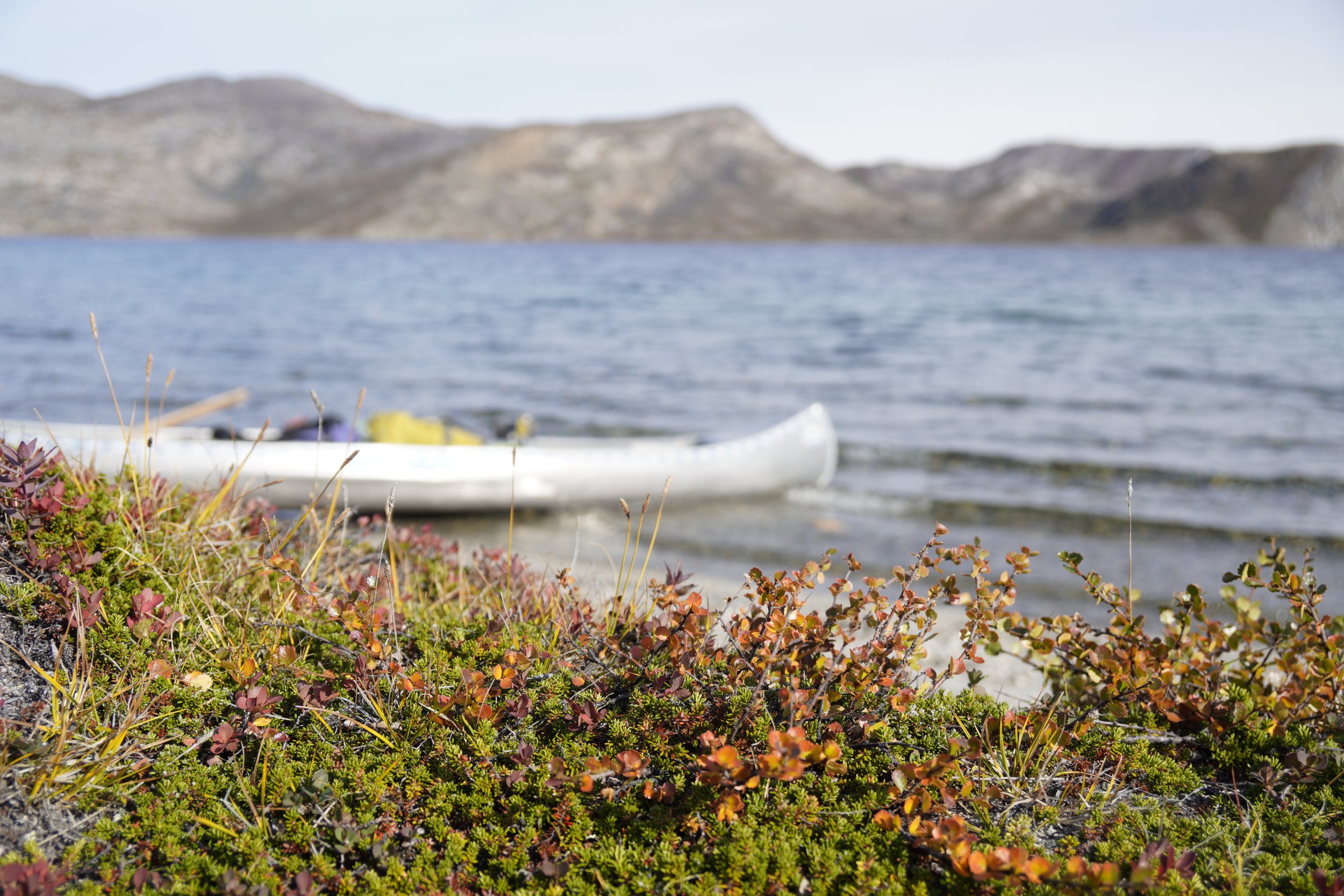
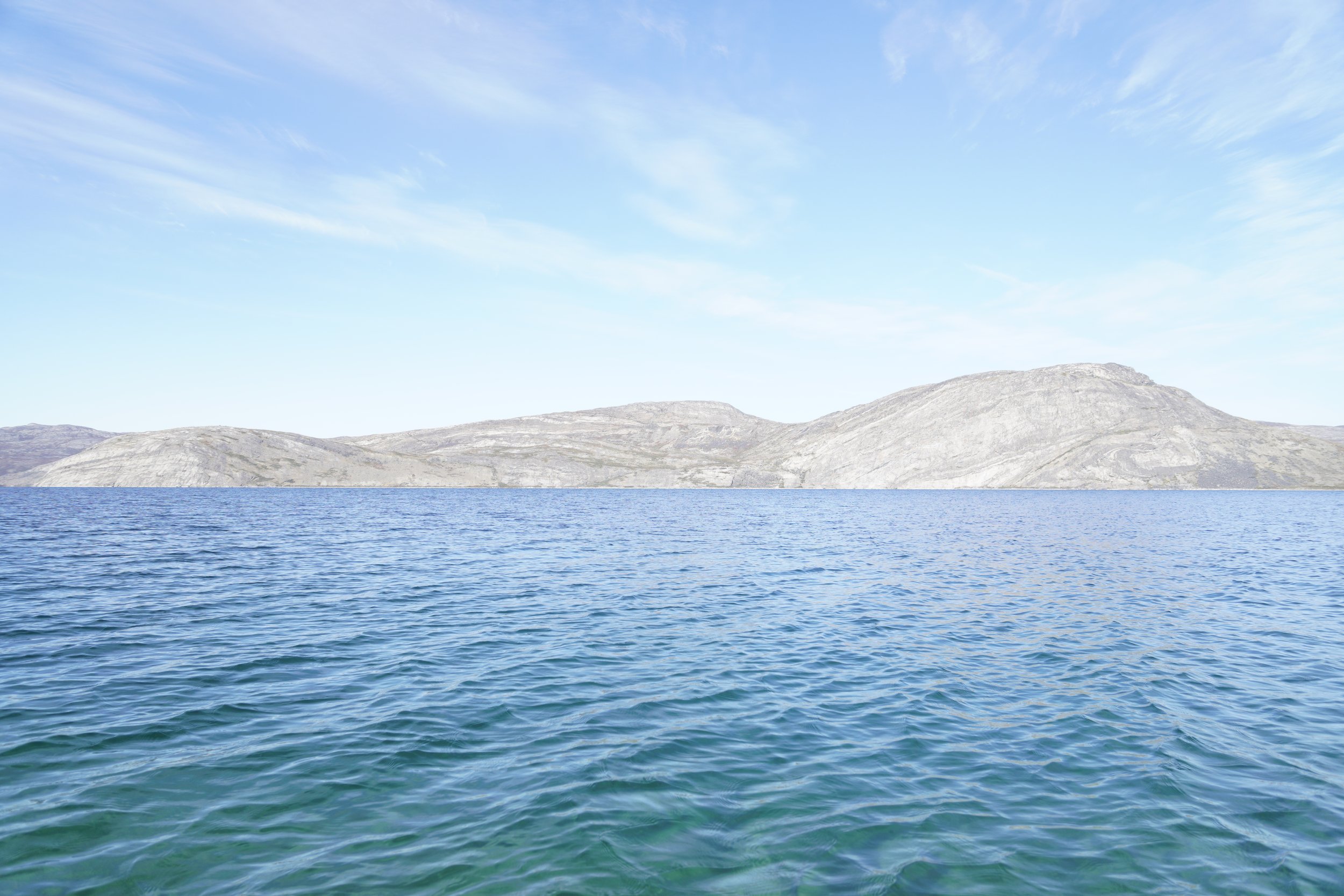
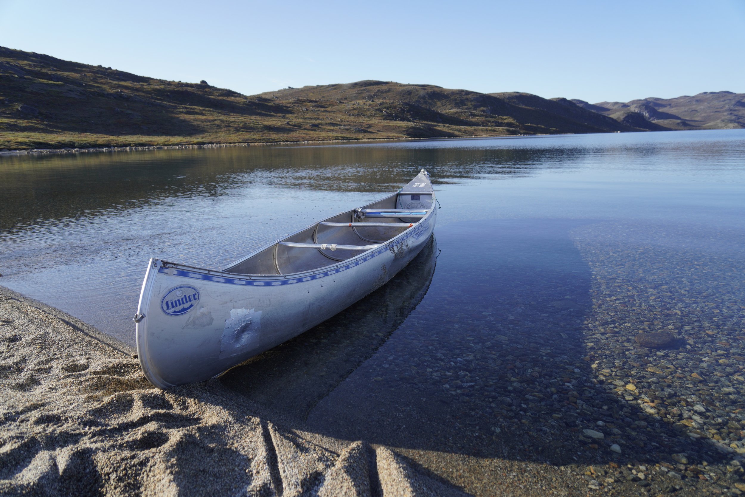
This stage can be performed by canoeing on the lake. Before taking a decision on whether to paddle or to walk, you should check the wind forecast for the day, since paddling against the wind can be exhausting. We also advice to check the conditions of the canoes, if you find any on the shore, and look for holes before picking one. If you choose to paddle, once you arrive at Canoe Center or while taking a break, it is important that you position your canoe a bit far away from the shore and place it upside down. In this way, you will help preserving its conditions and you will make sure that the lake will not drag it away in case of bad weather.
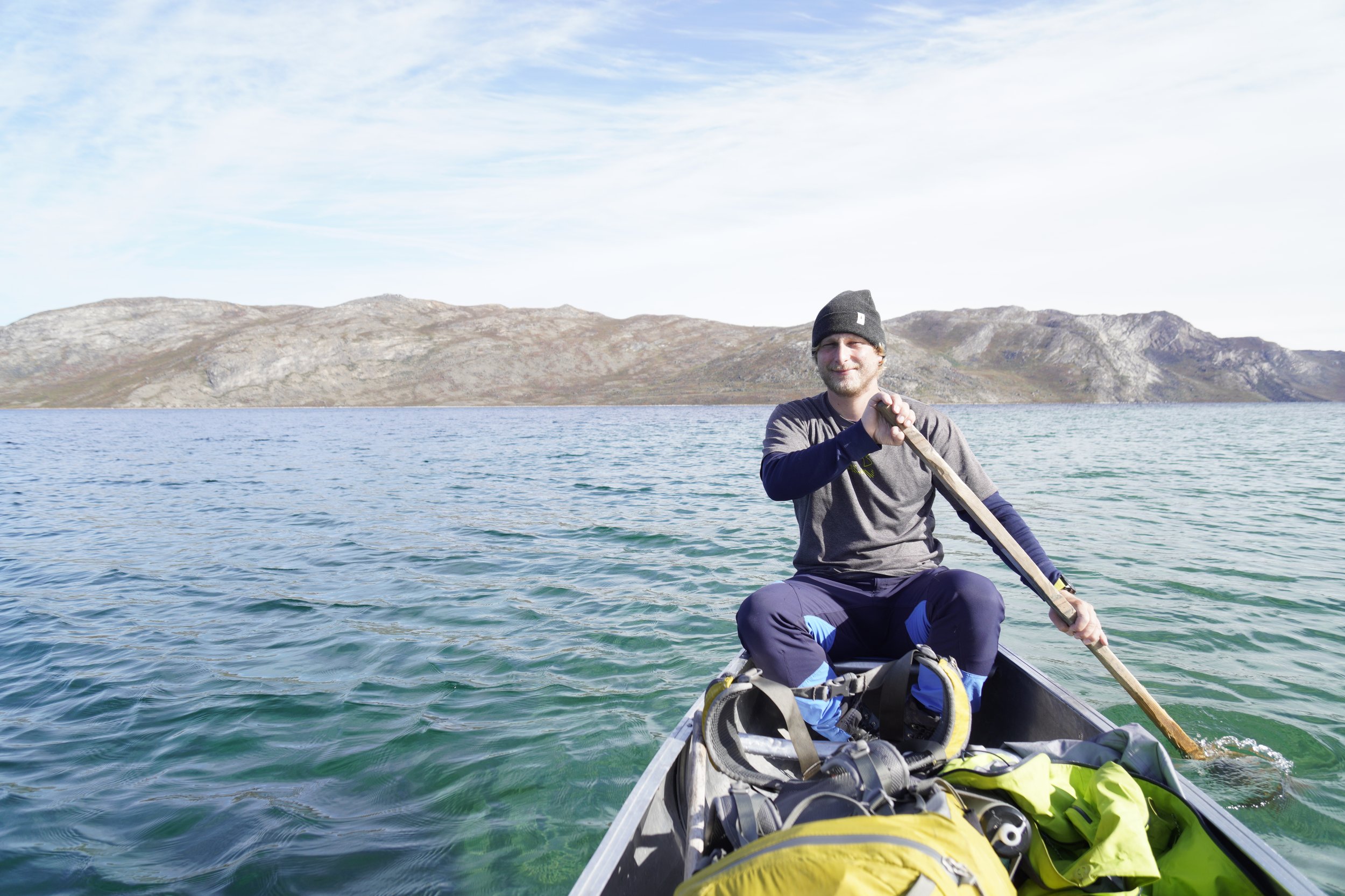
As we found a canoe in good conditions on the shore behind Katiffik, we decided to accept the challenge and paddle along the lake until Canoe Center.
MEMORIES
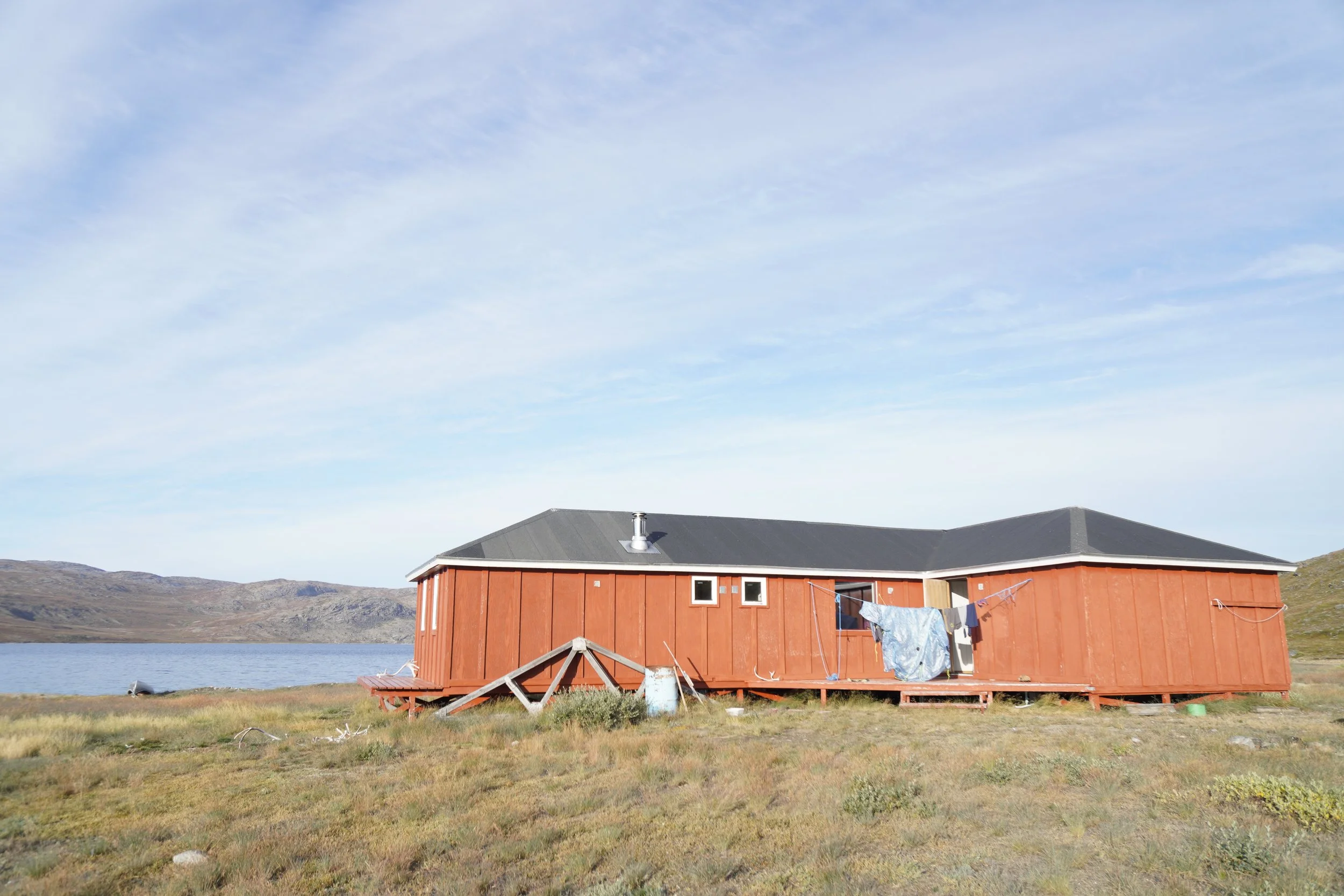
This was our first time on a canoe. We started paddling at around 10:00 and my arms felt immediately exhausted… but Yannick was with me and I felt safe. Suddenly, the silence surrounding us was interrupted by the strange song of a bird on the lake. It seemed that he was making fun of us and we kept laughing and tried to imitate him. Only once we reached Canoe Center, Yannick told me how scared he was for the entire stage. I couldn’t help but laugh, since I felt safe only because he seemed comfortable on the canoe. The hut at Canoe Center was huge, and we decided to win the cold and skinny-dip in the lake. This second stage of the ACT was definitely something to remember.
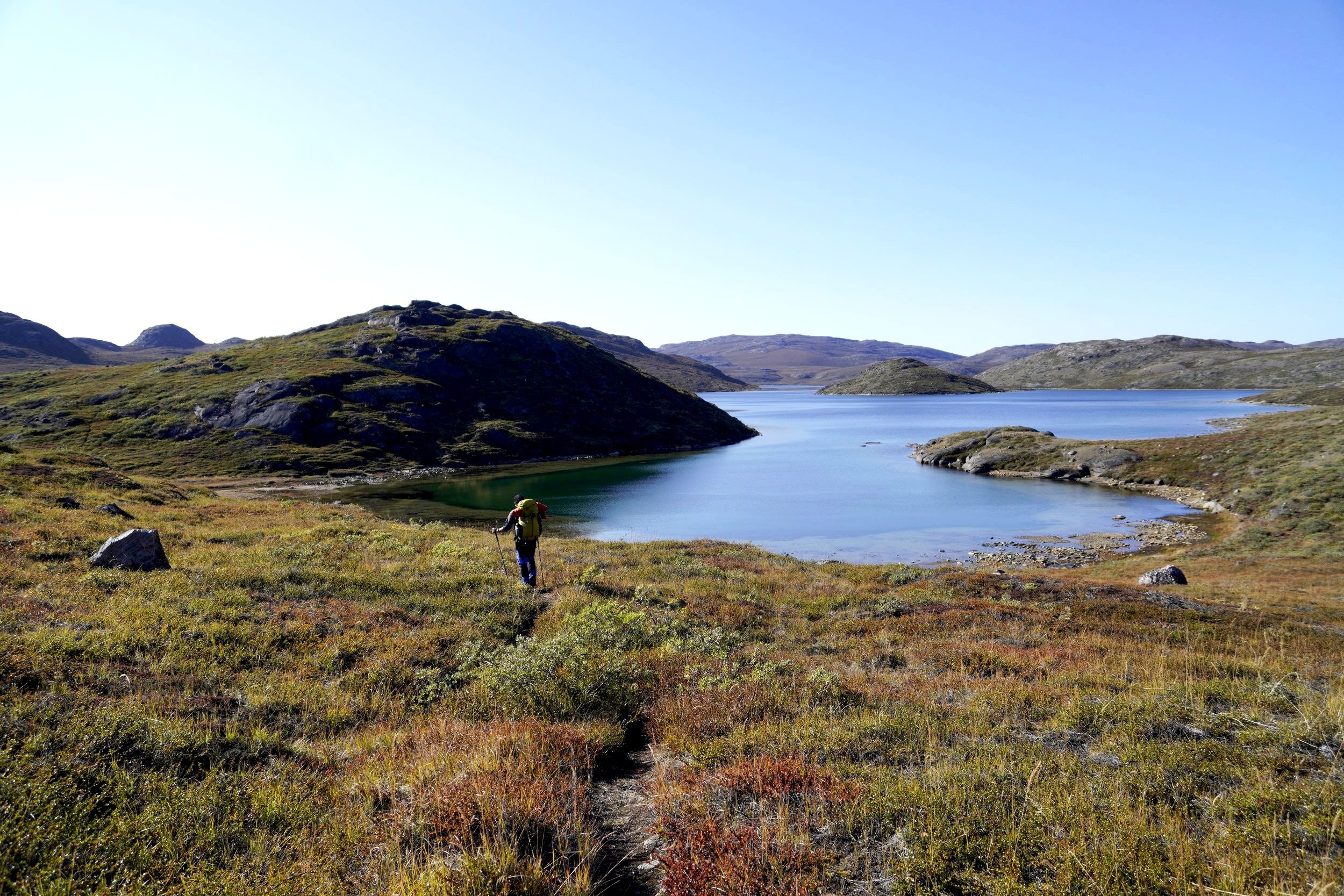
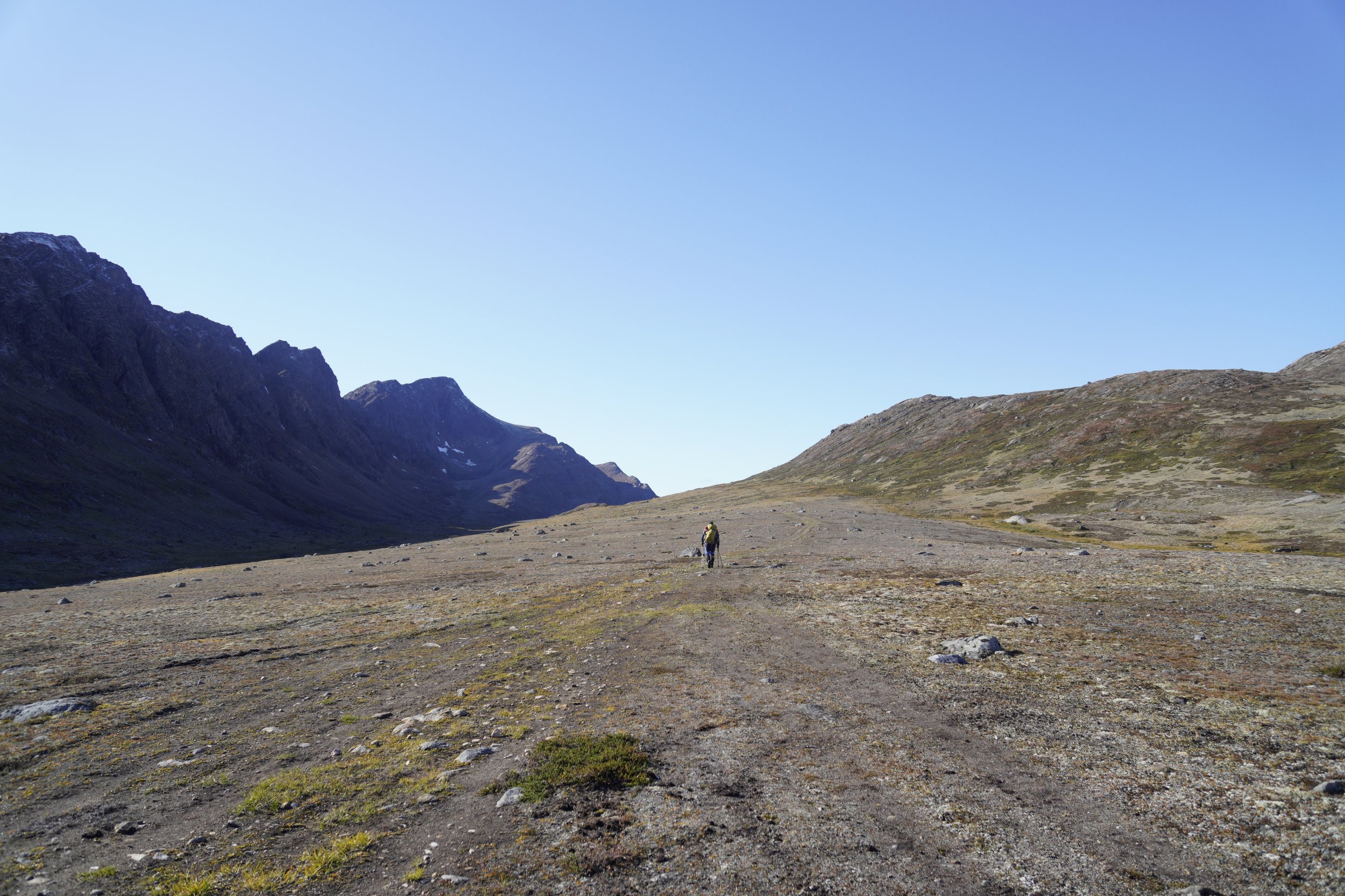
STAGE 3: CANOE CENTER - EQALUGAARNIARFIK
Distance: 33 km
Elevation Gain: 1000 m
Elevation Loss: 970 m
Walking Time: 8h
IMPORTANT REMARKS
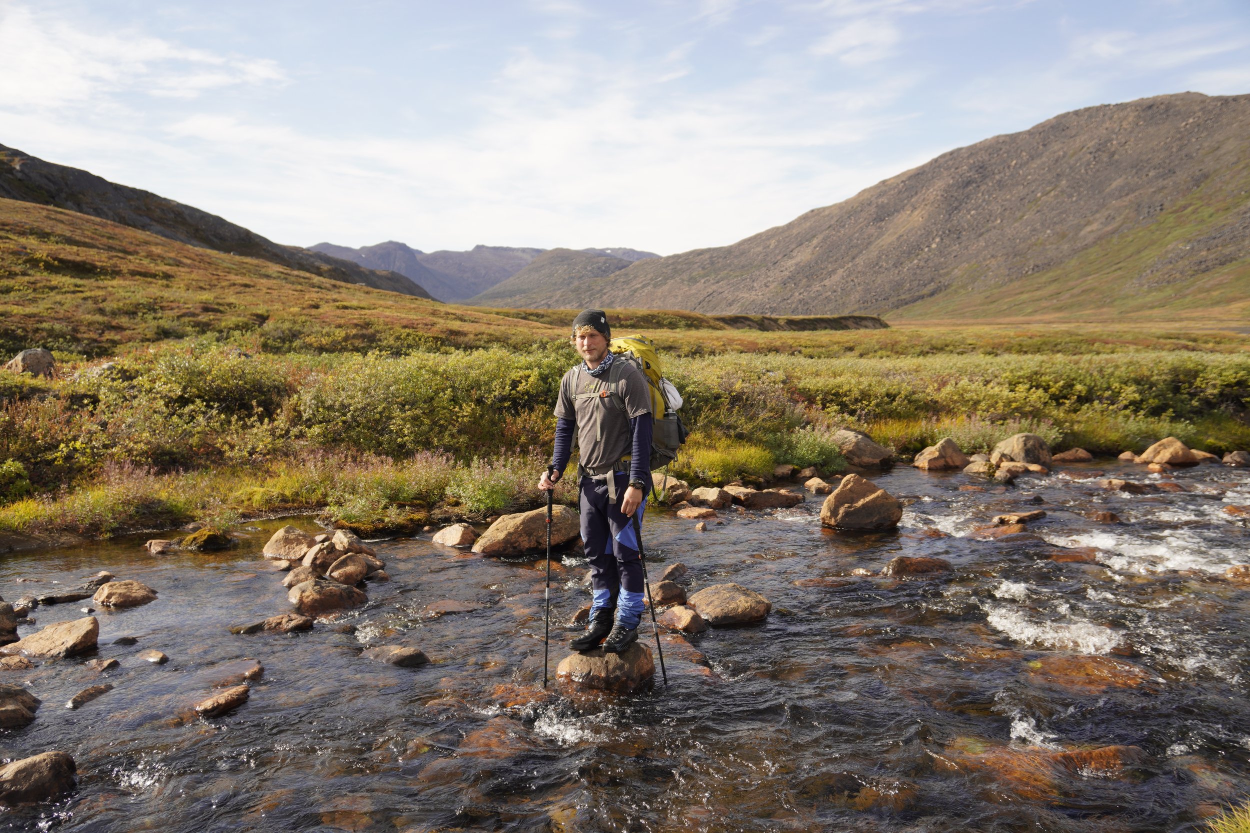
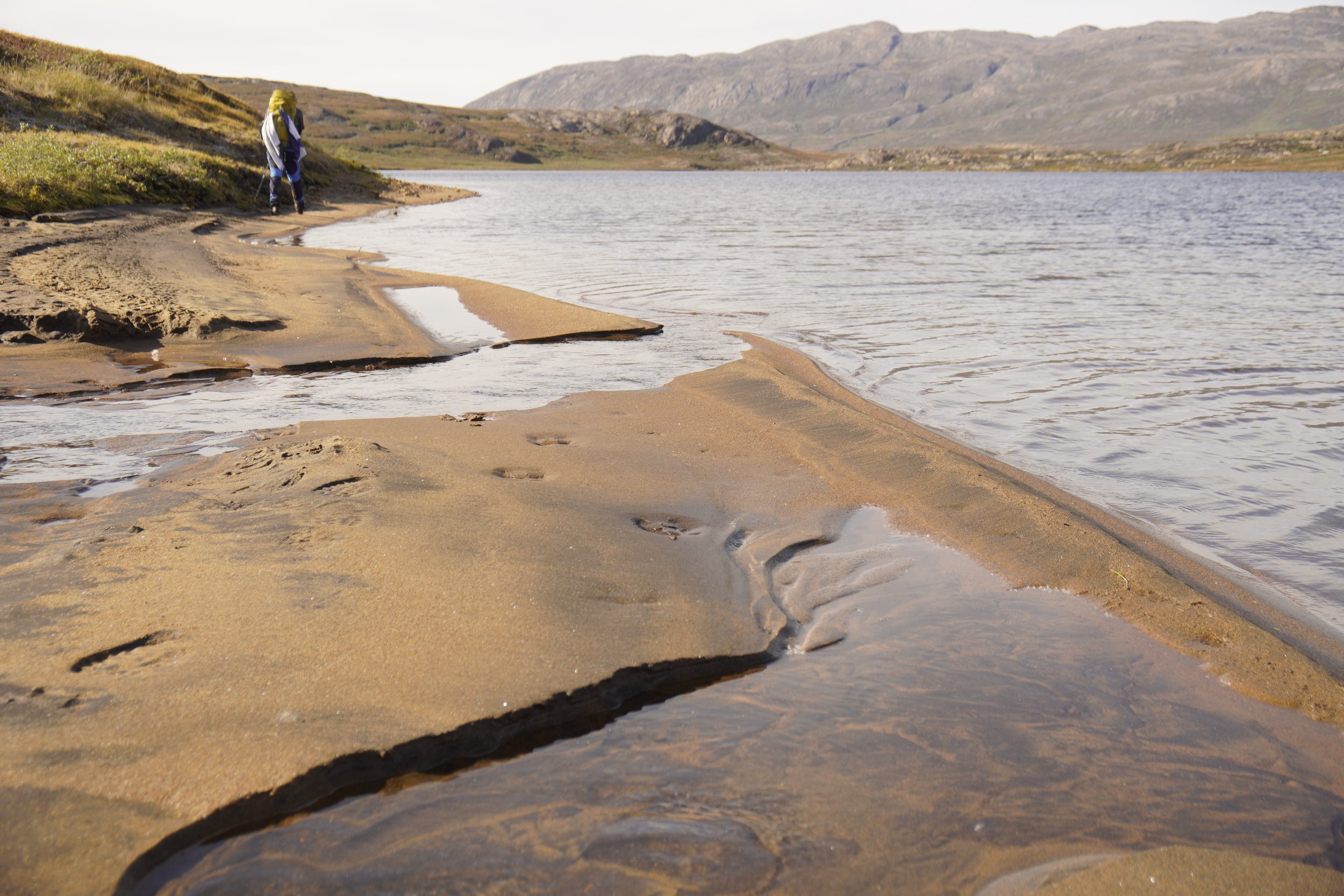
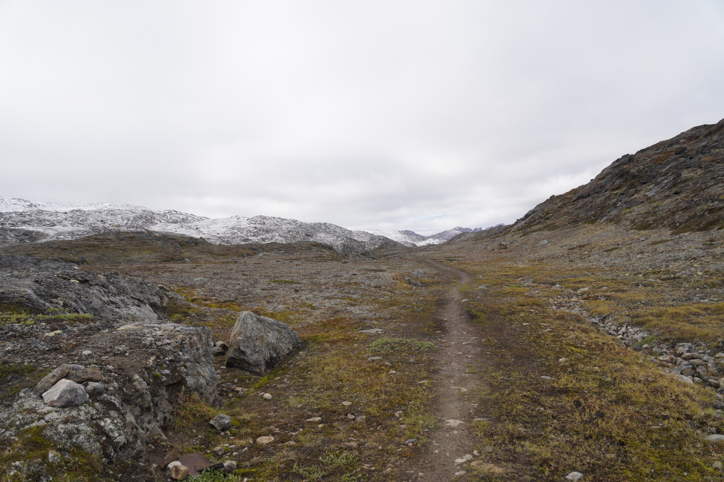
We started walking at around 09:00. This stage was very long and we felt really tired when, almost at the end of the day, we had to walk through a swamp and cross a river. If you plan to sleep at or near the huts as we did, an option for dividing this stage would be to stop at Ikkatooq (22 km), followed by a shorter stage to Eqalugaarniarfik the next day (11 km).
We decided to cross the river at the coordinates indicated in our guide book (66.992402 -52.270477). However, if you don’t feel safe to cross and if the river is in flood and too dangerous, we recommend to take the longer variant route and cross the river further down on a bridge. Bear in mind that this variant is not straightforward, since it is not marked, and it will not keep your feet dry, because it mostly goes through very boggy terrain.
MEMORIES
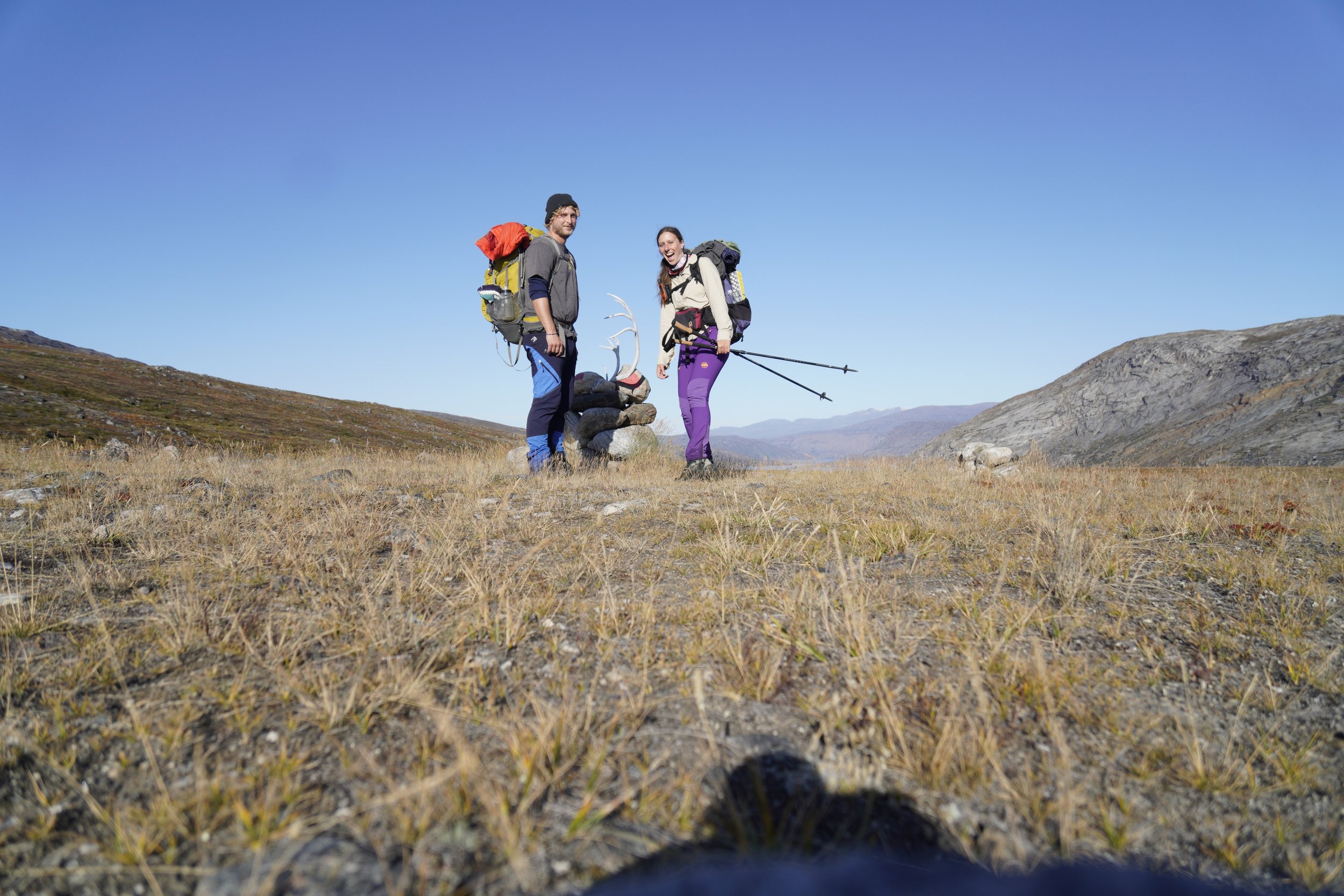
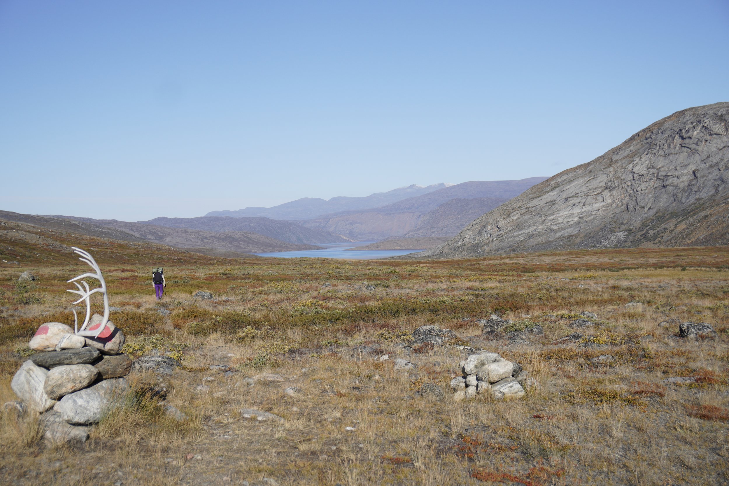
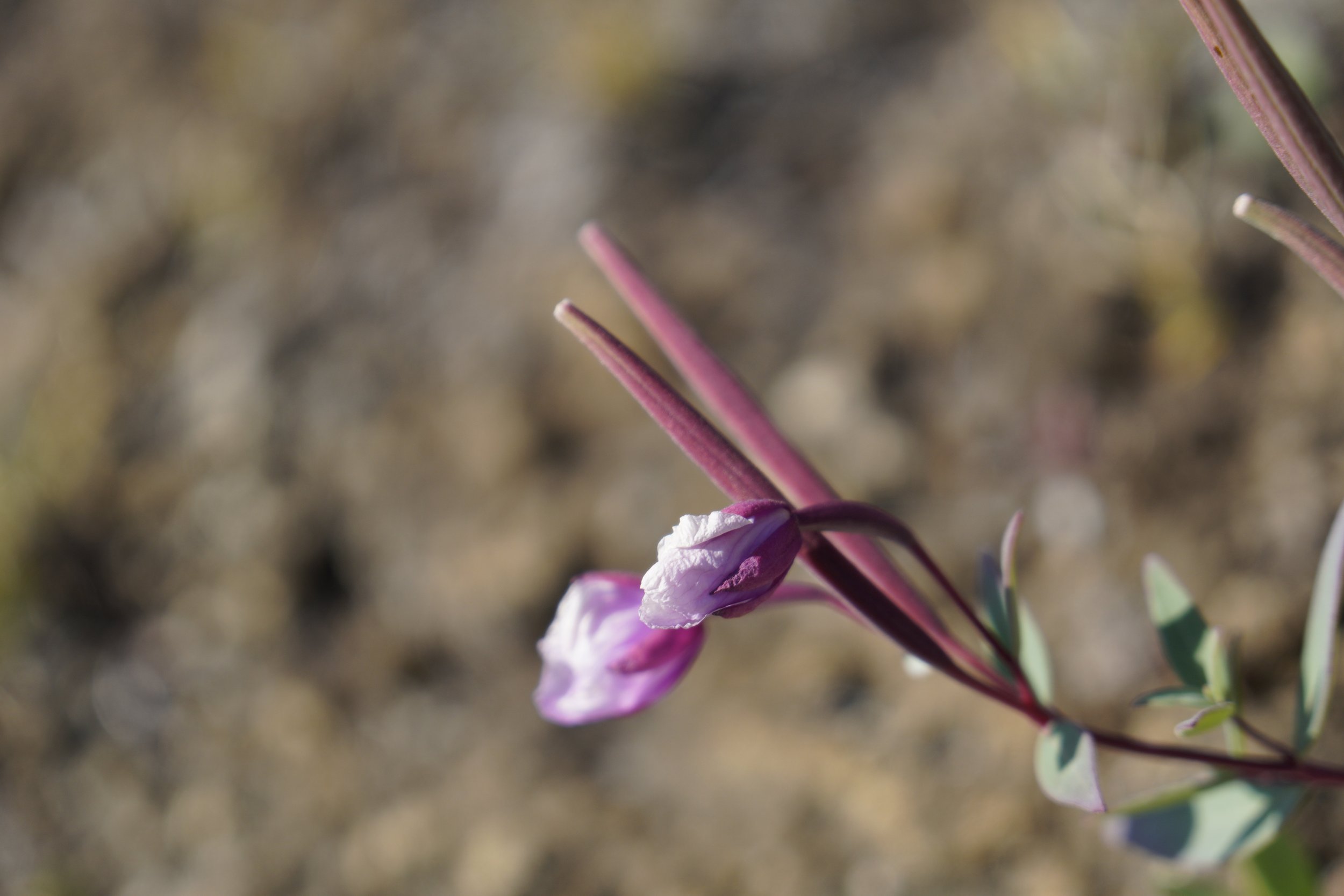
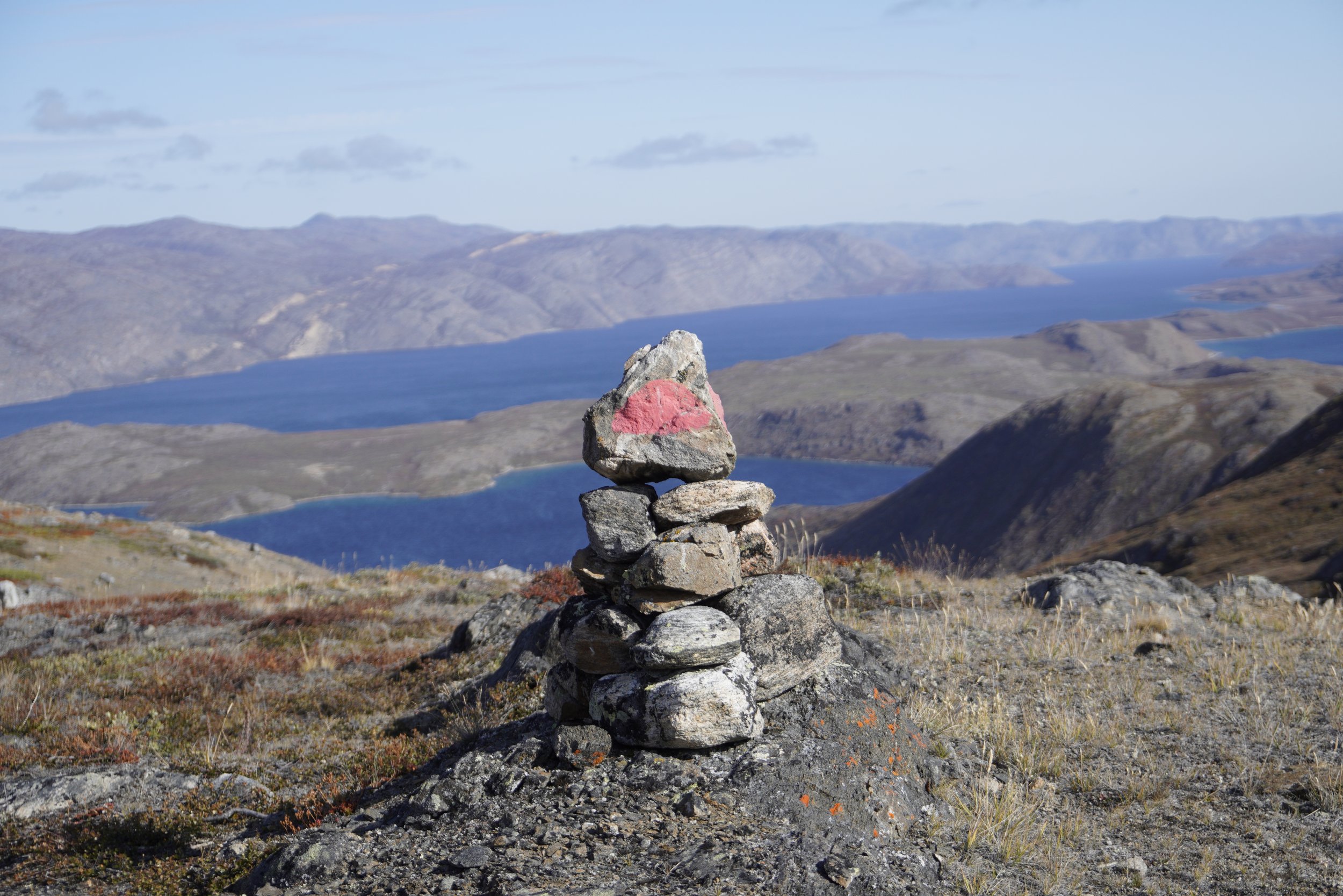
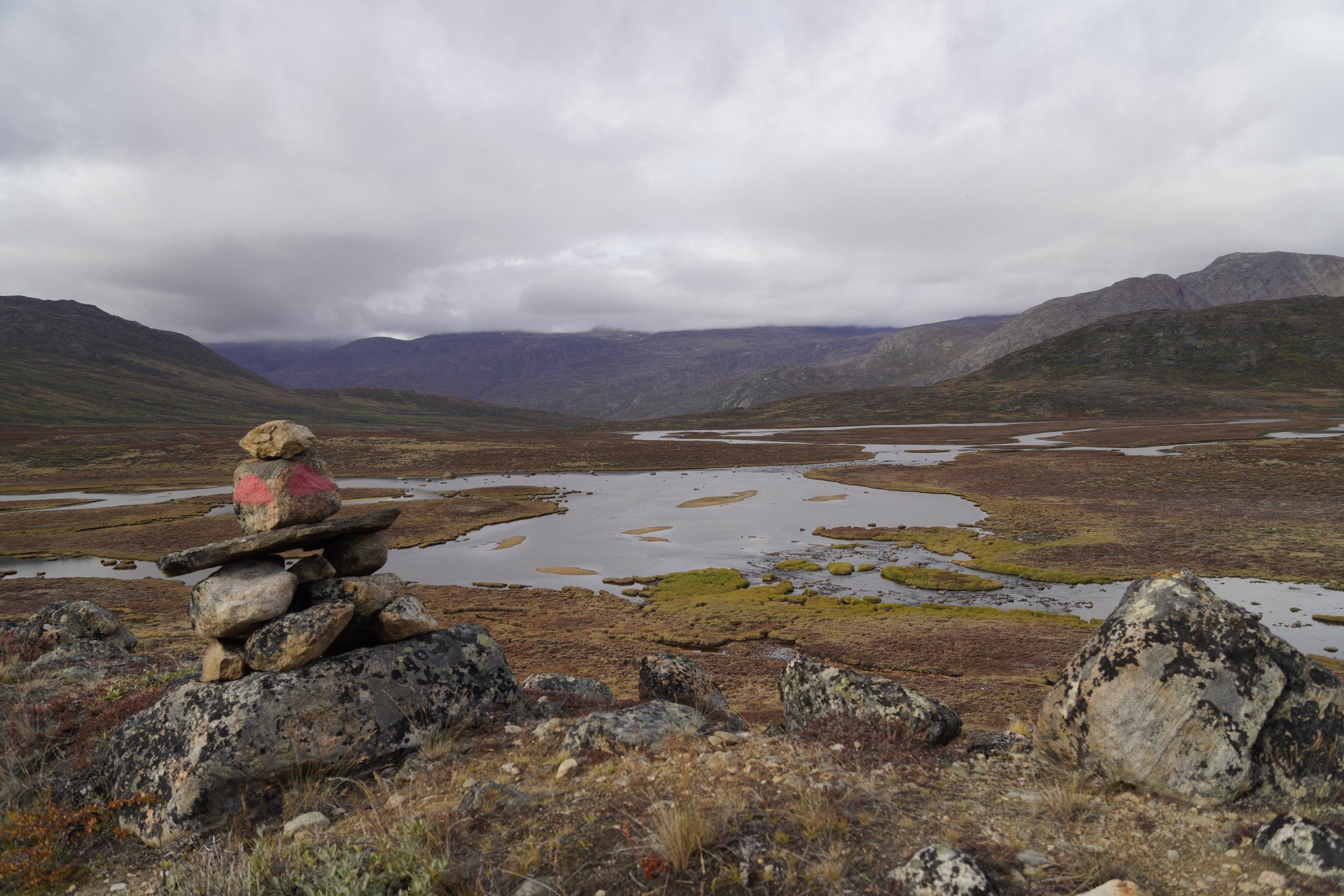
The day started with very good weather. We reached some of the iconic cairns marking this trail and we stopped for taking funny pictures. While walking, I recognized a very beautiful flower described in the guide book, the Niviarsiaq (translated as “Young Woman”), which is the national flower of Greenland.
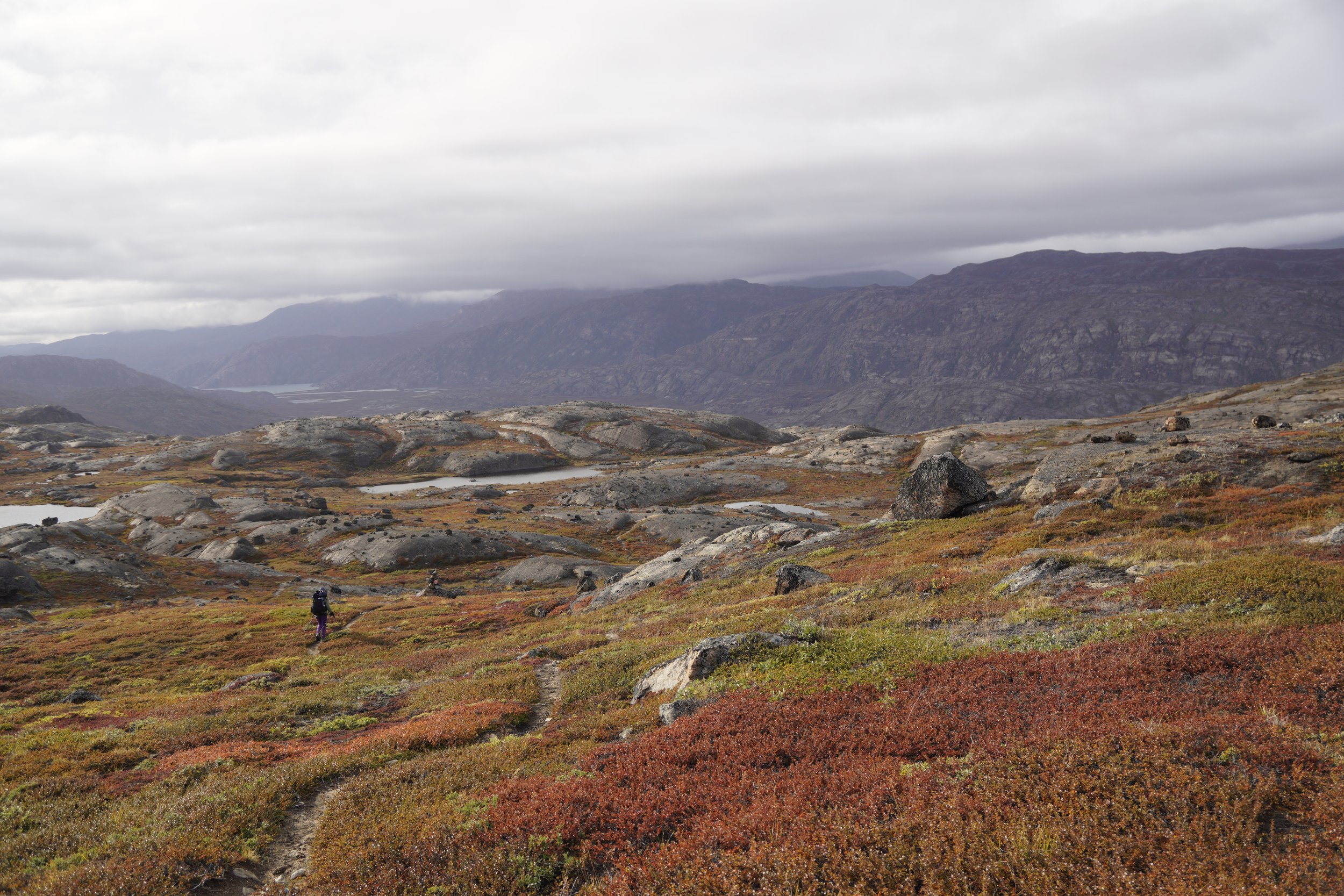
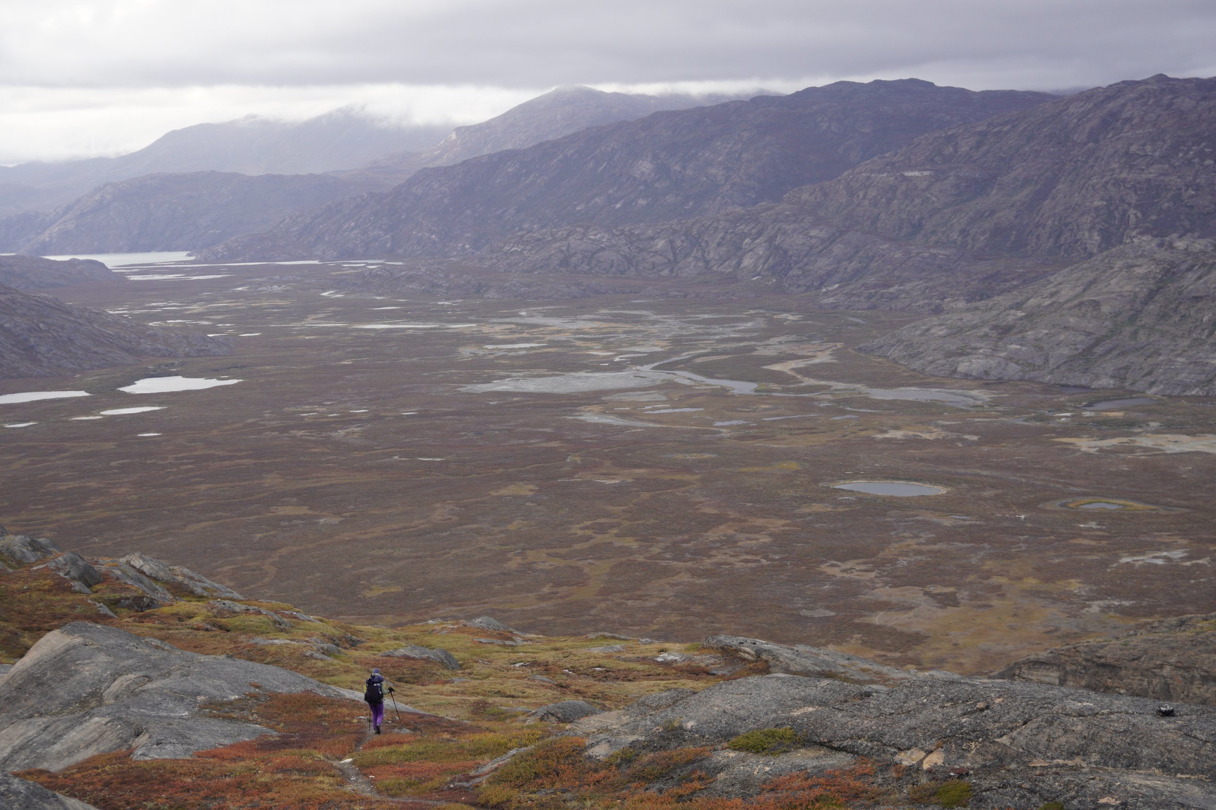
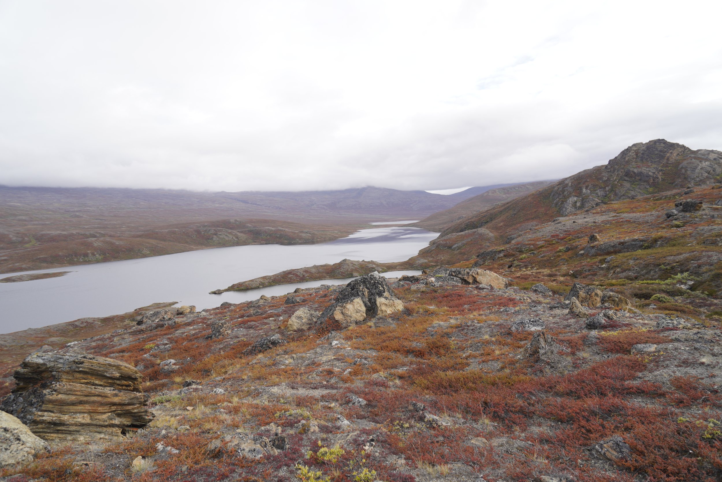
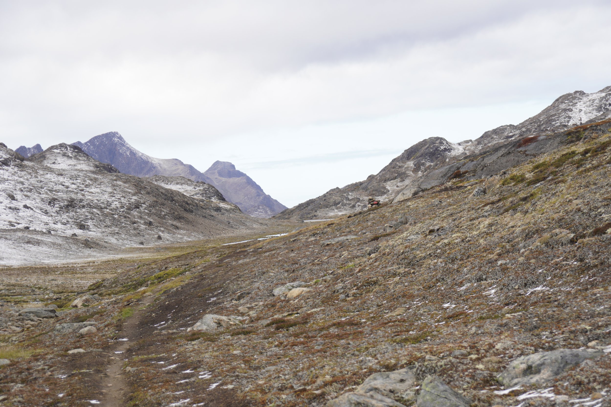
The most beautiful part of the trail was on the mountains right after Ikkatook, where big and smooth rocks were surrounded by orange and red vegetation. From the top of this mountain, we could admire the huge valley that we had to cross, as grey clouds were slowly covering the sky. We couldn’t help but think about Mordor, and we felt like two tiny Hobbits on their long and heroic journey.
In the afternoon, we felt really tired and were relieved when we reached Eqalugaarniarfik. Our hiking boots were completely wet, since we kept them on for crossing the river, but we managed to dry them overnight using our towels.
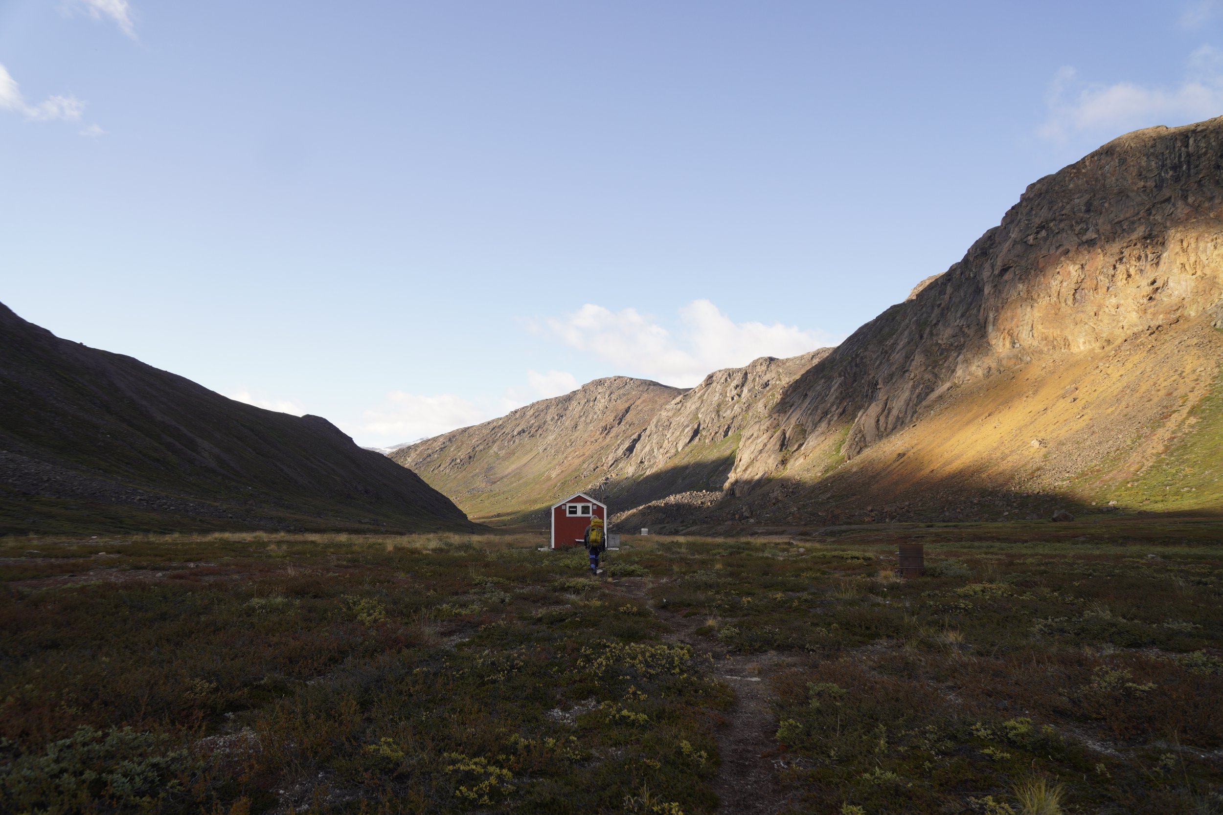
STAGE 4: EQALUGAARNIARFIK - INNAJUATTOQ
Distance: 19 km
Elevation Gain: 680 m
Elevation Loss: 510 m
Walking Time: 5h
IMPORTANT REMARKS
This stage was very easy compared to the one before. We started walking at around 10:00, took a long lunch break at a lake, and arrived at Innajuattoq in the afternoon.
MEMORIES
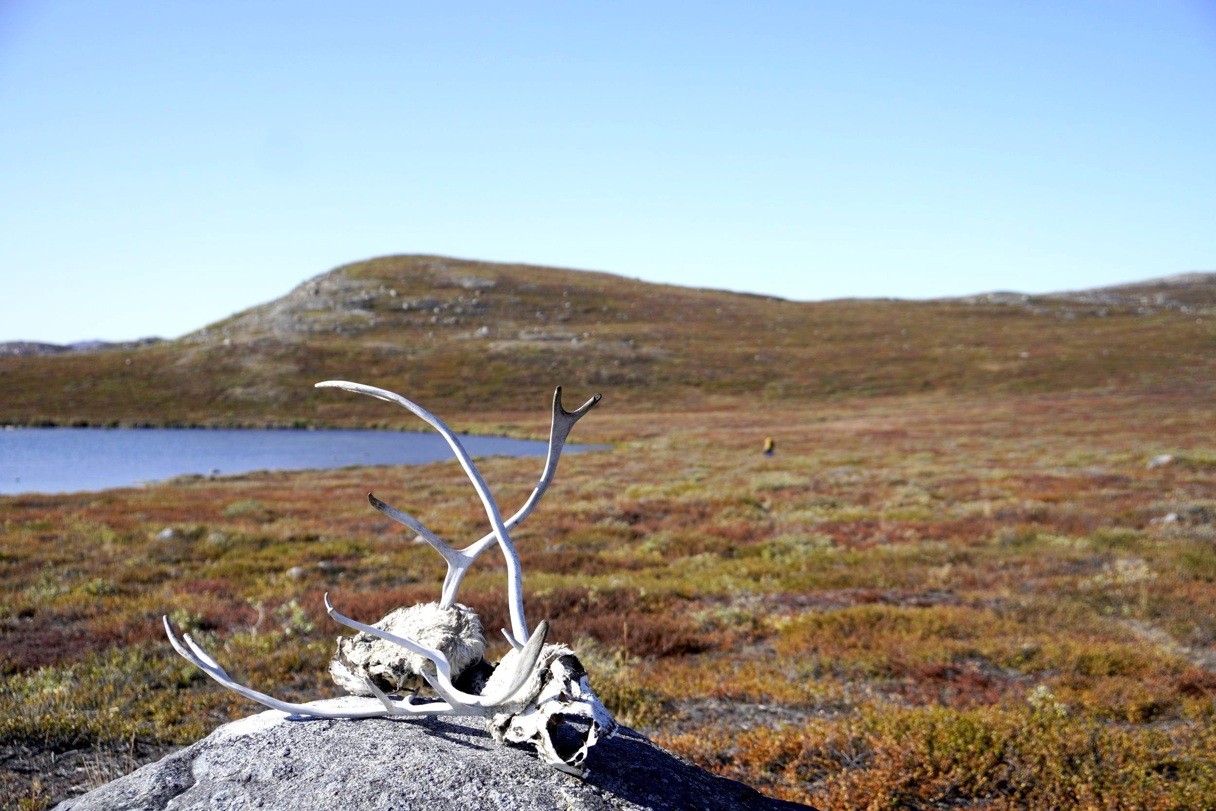
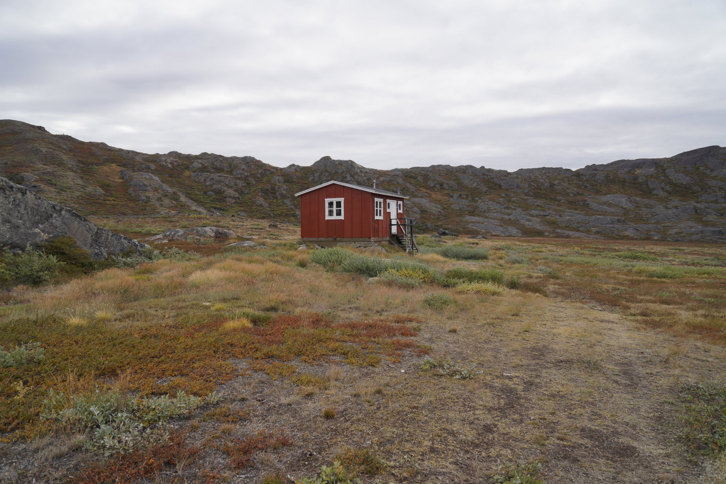
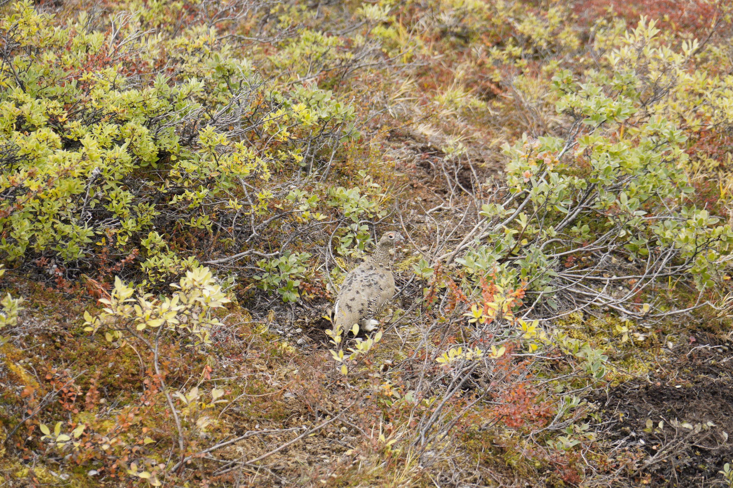
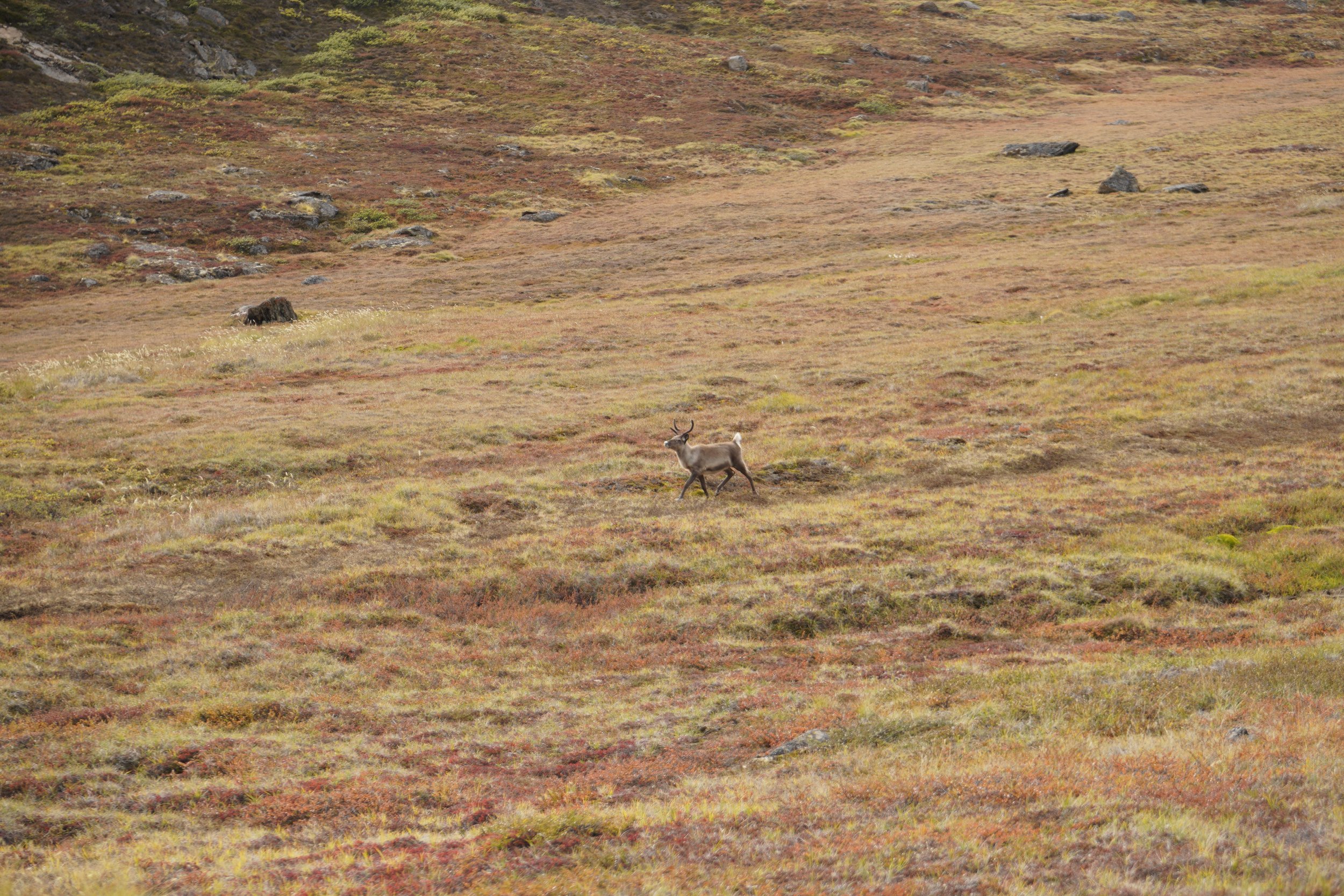
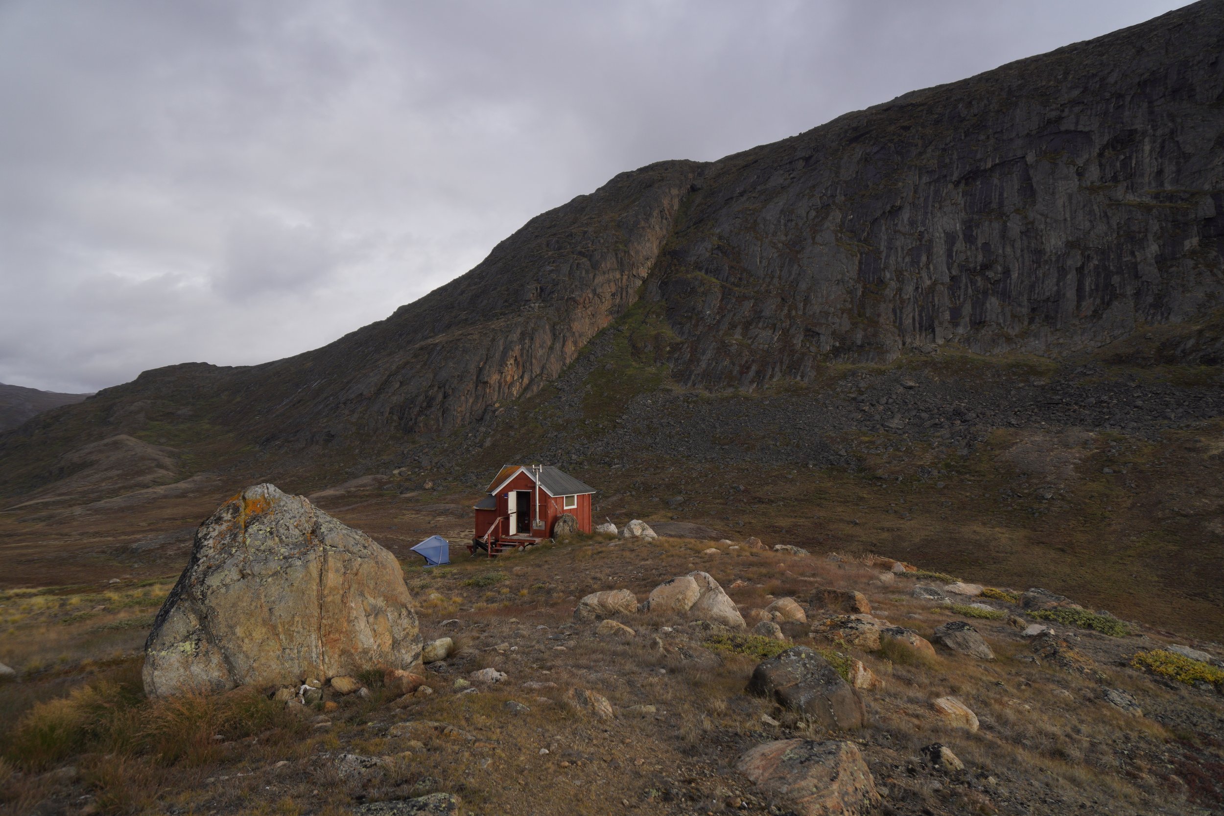
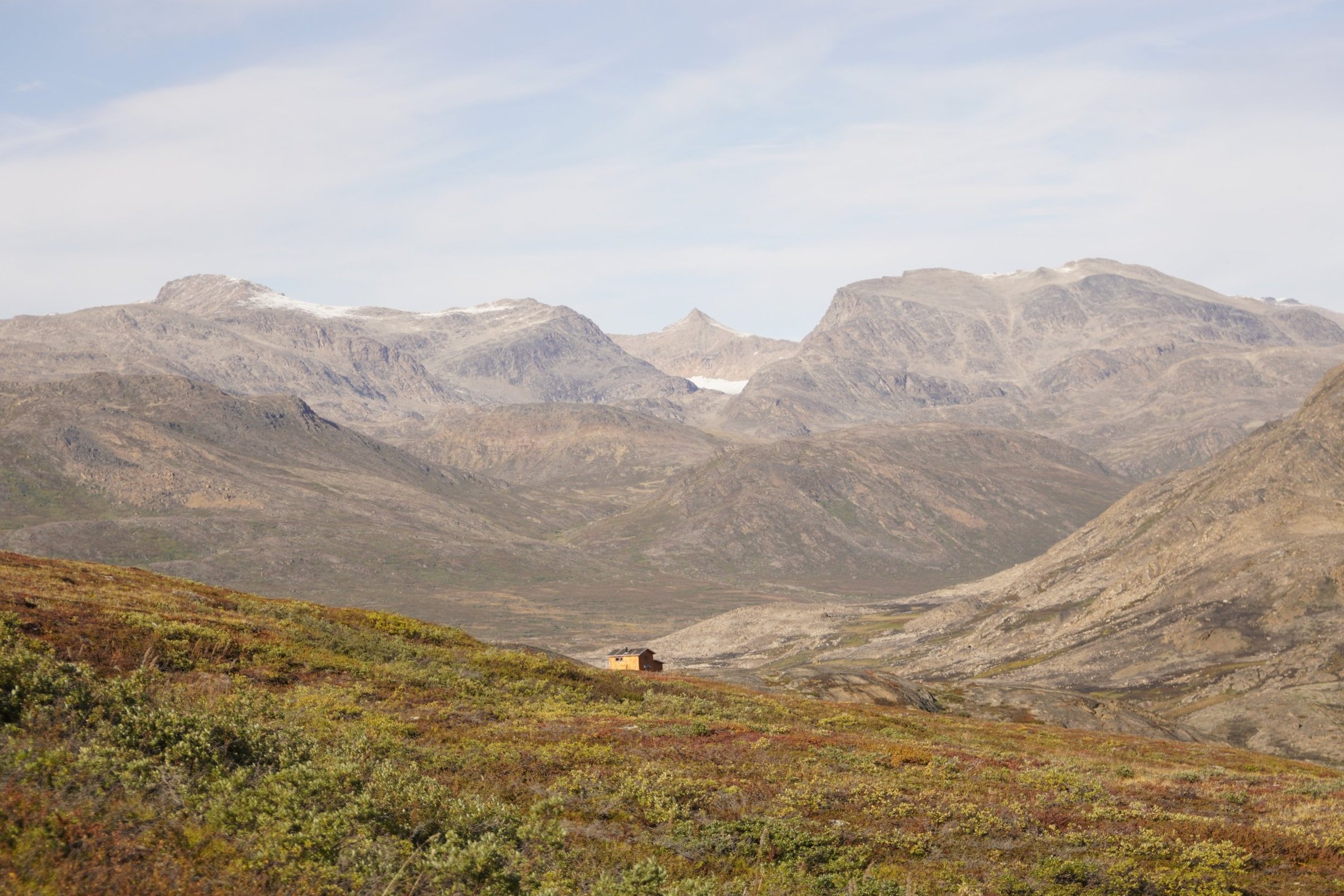
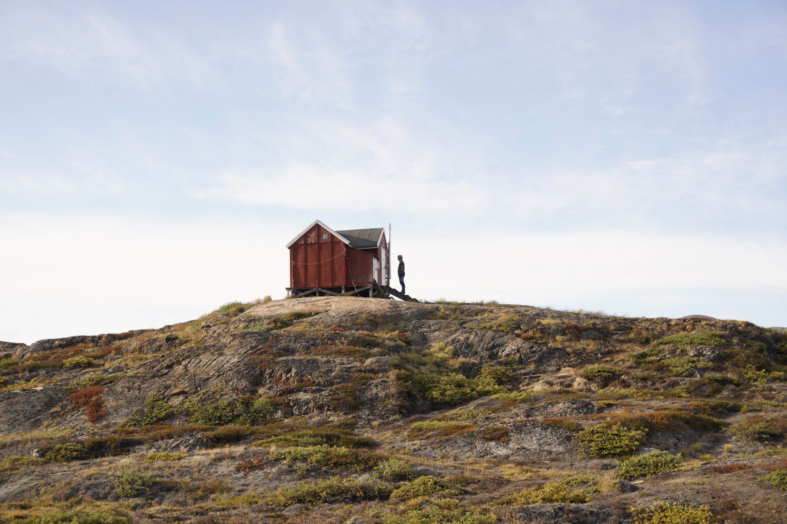
We spotted a shy partridge hiding in a bush and we became friends with a curious and gracious young reindeer along the way. At Innajuattoq, the big hut (Innajuattoq II) was already occupied by construction workers, so we chose to sleep at the smaller hut up on the hill (Innajuattoq I). The view from the small hut was incredible and we enjoyed the quiet and peace of the lake at sunset.
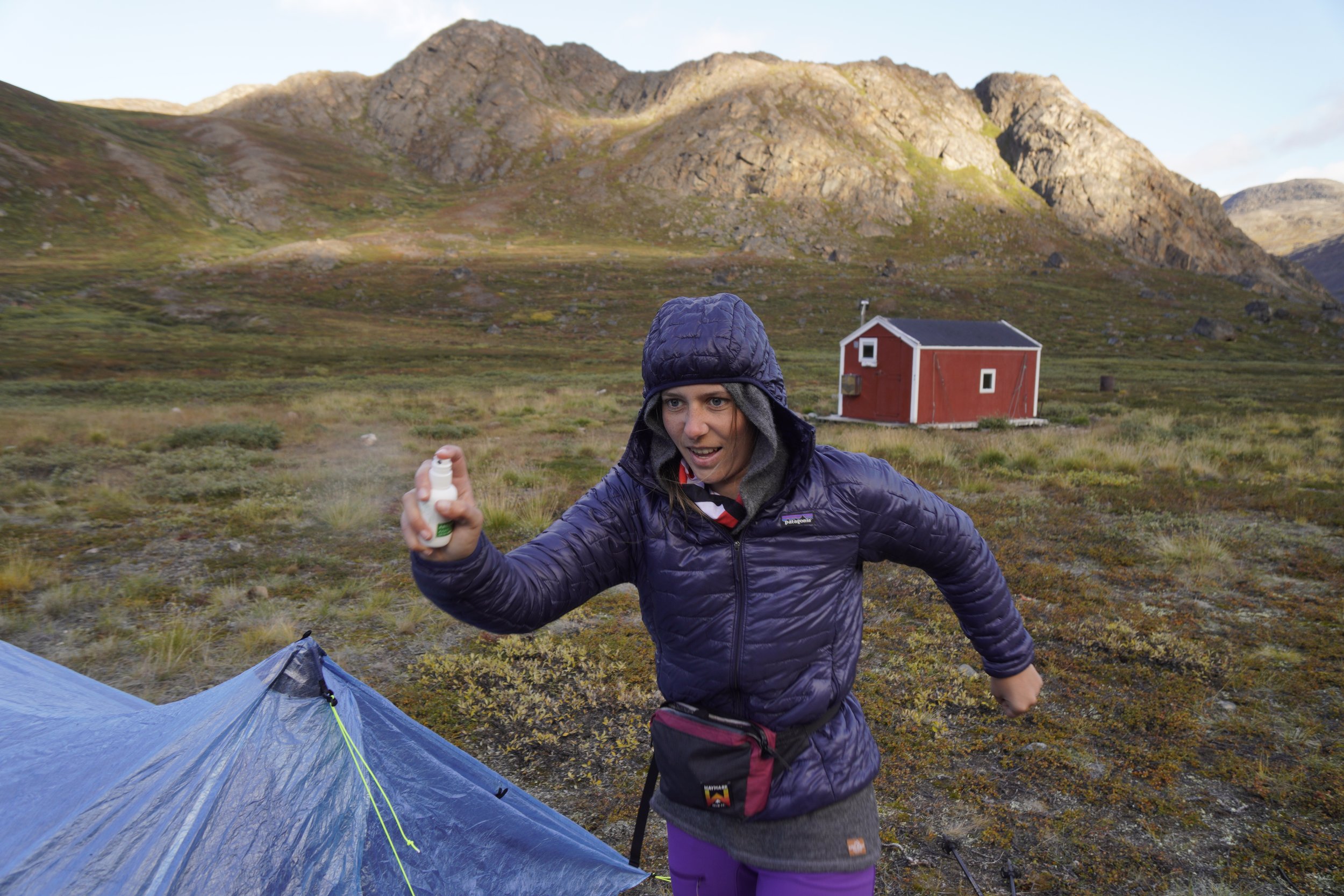
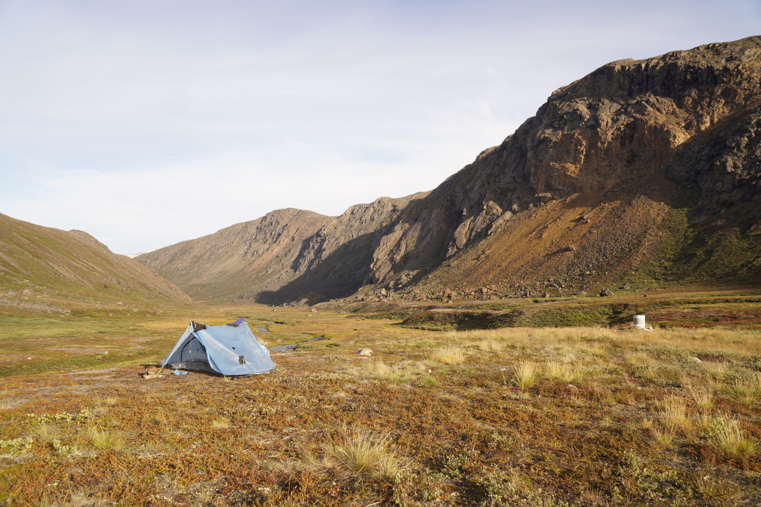
STAGE 5: INNAJUATTOQ - NERUMAQ
Distance: 17 km
Elevation Gain: 370 m
Elevation Loss: 520 m
Walking Time: 4h 45min
IMPORTANT REMARKS
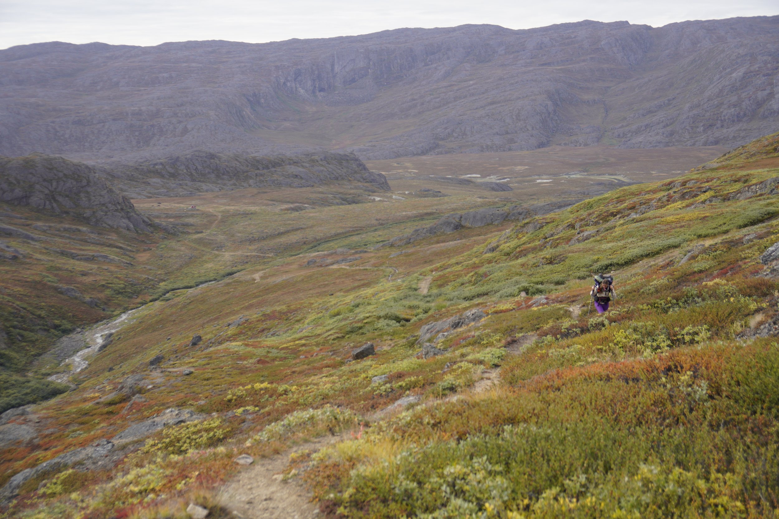
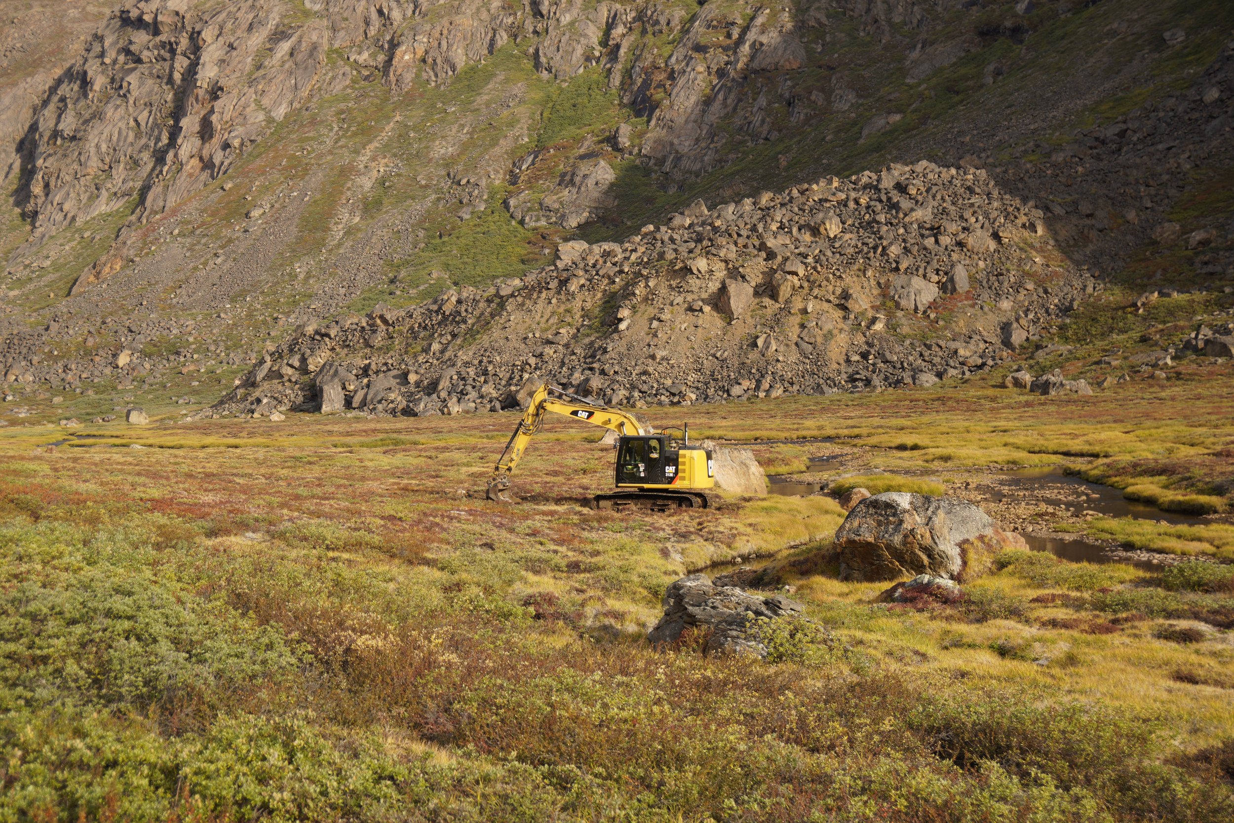
From Innajuattoq until Sisimiut, the trail sometimes crossed a new ATV road under construction. This road is a project for better connecting Sisimiut with Kangerlussuaq. We felt a bit frustrated when, suddenly, we lost trace of the trail and we had to scramble through the dirt of this road. On one hand, we found it very sad that the peaceful and untouched nature of the ACT was ruined in this way. On the other hand, we tried to look at the brightside, hoping that this road will allow for a better maintenance of the trail and that it will make it somehow easier to clean the huts and remove the trash surrounding them.
MEMORIES
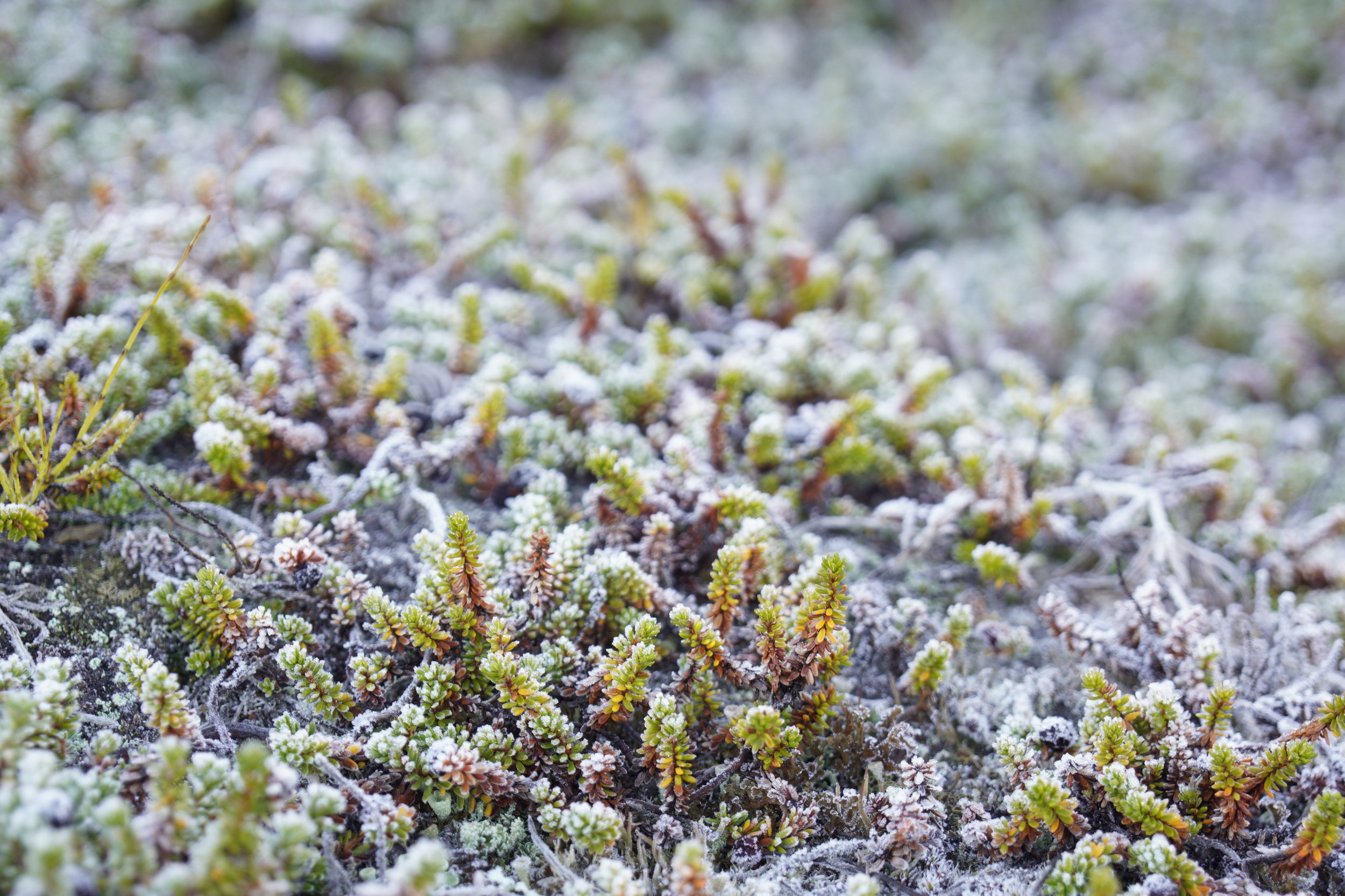
We woke up at 08:30 surrounded by a magic frost covering the vegetation, and realized that the nights were slowly getting colder. The trail was nice, except when it crossed the ATV road… we found it hard to follow, as we kept losing its trace as soon as we were on the bigger road path. The hut at Nerumaq was in a valley surrounded by epic mountains. This hut was also occupied by construction workers, so we pitched our tent nearby. For the first time on the ACT, we fought against mosquitoes. However, they suddenly disappeared as the sun went down behind the mountains.
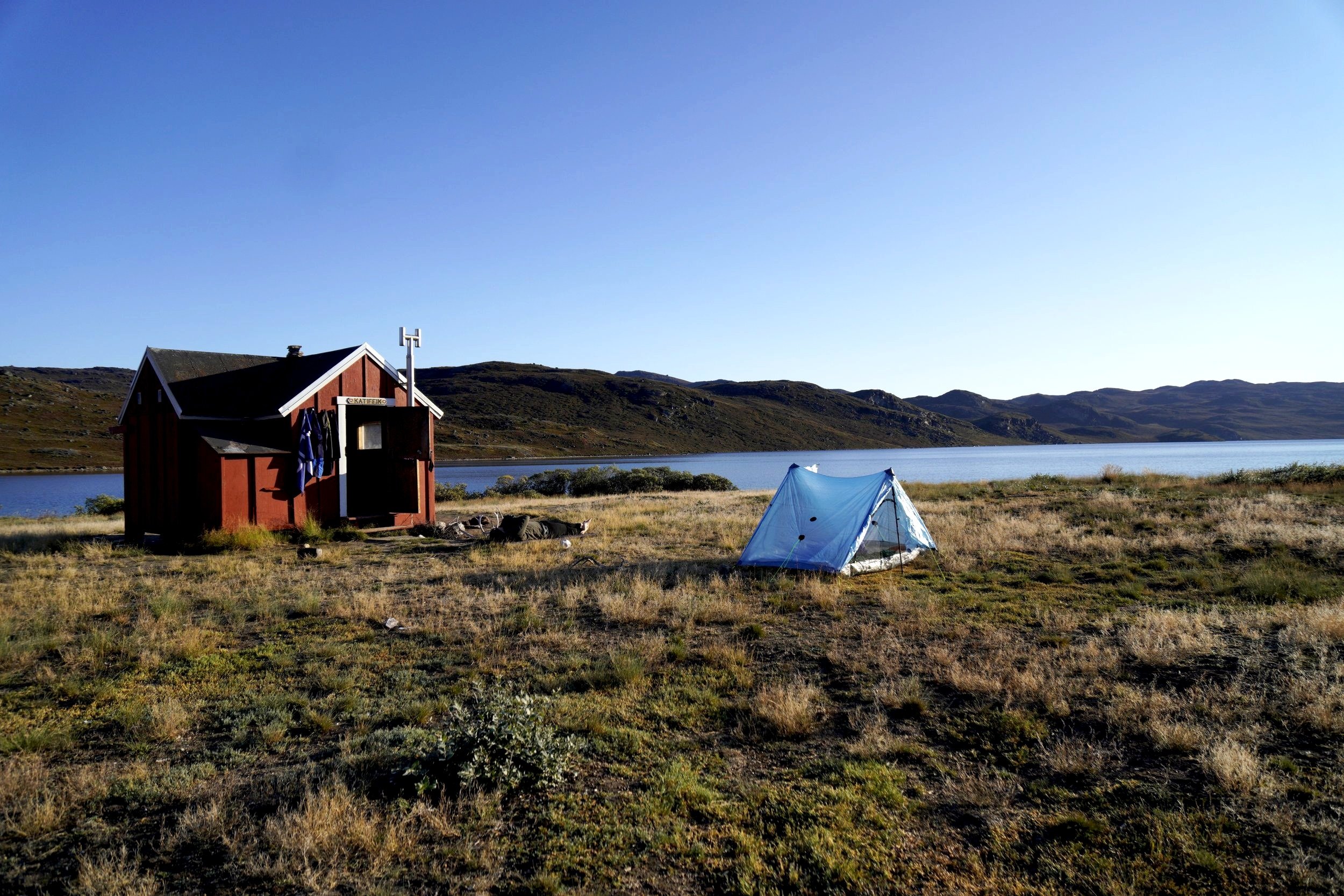
STAGE 6: NERUMAQ - KANGERLUARSUK TULLEQ
Distance: 16 km
Elevation Gain: 200 m
Elevation Loss: 325 m
Walking Time: 4h 30min
IMPORTANT REMARKS
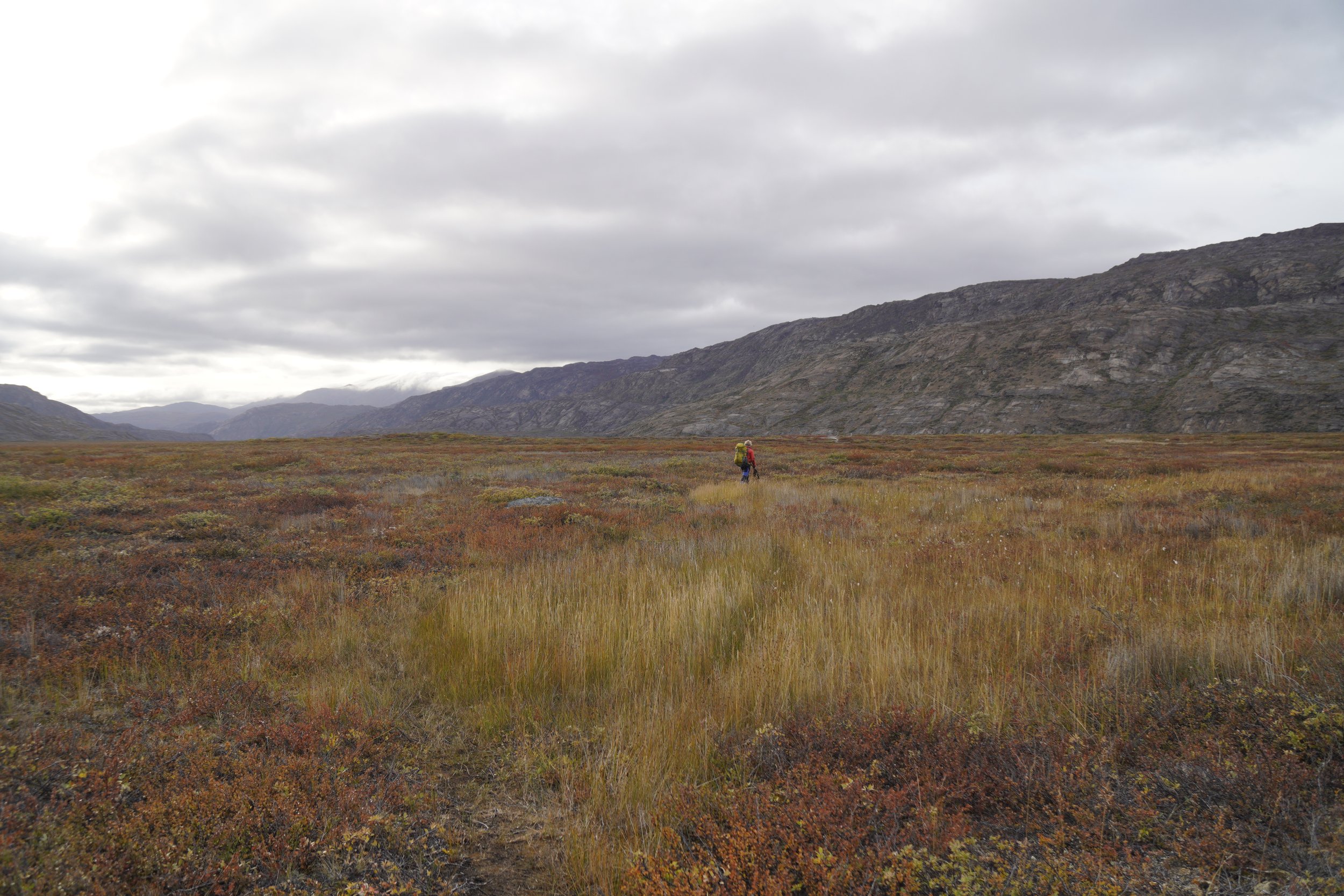
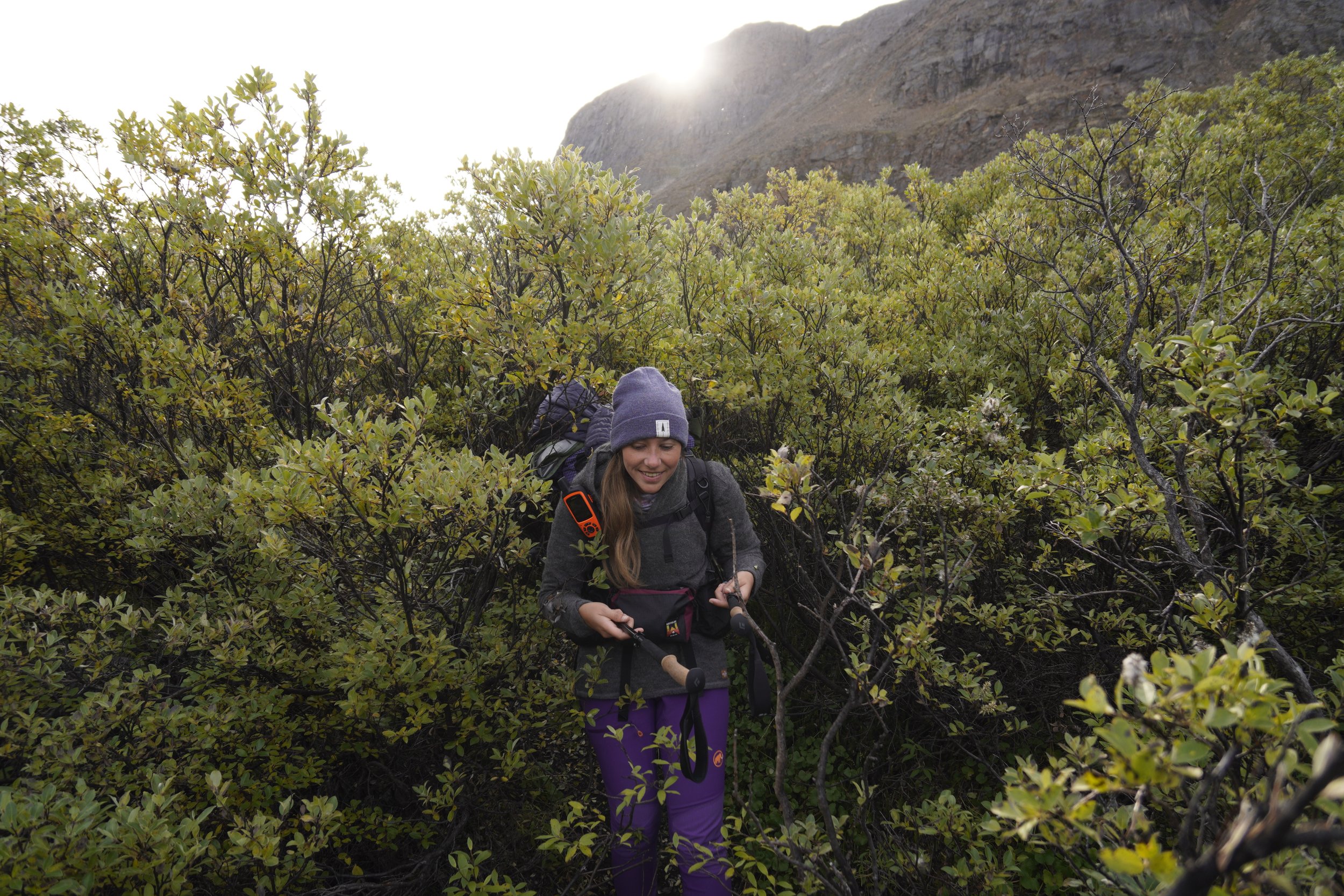
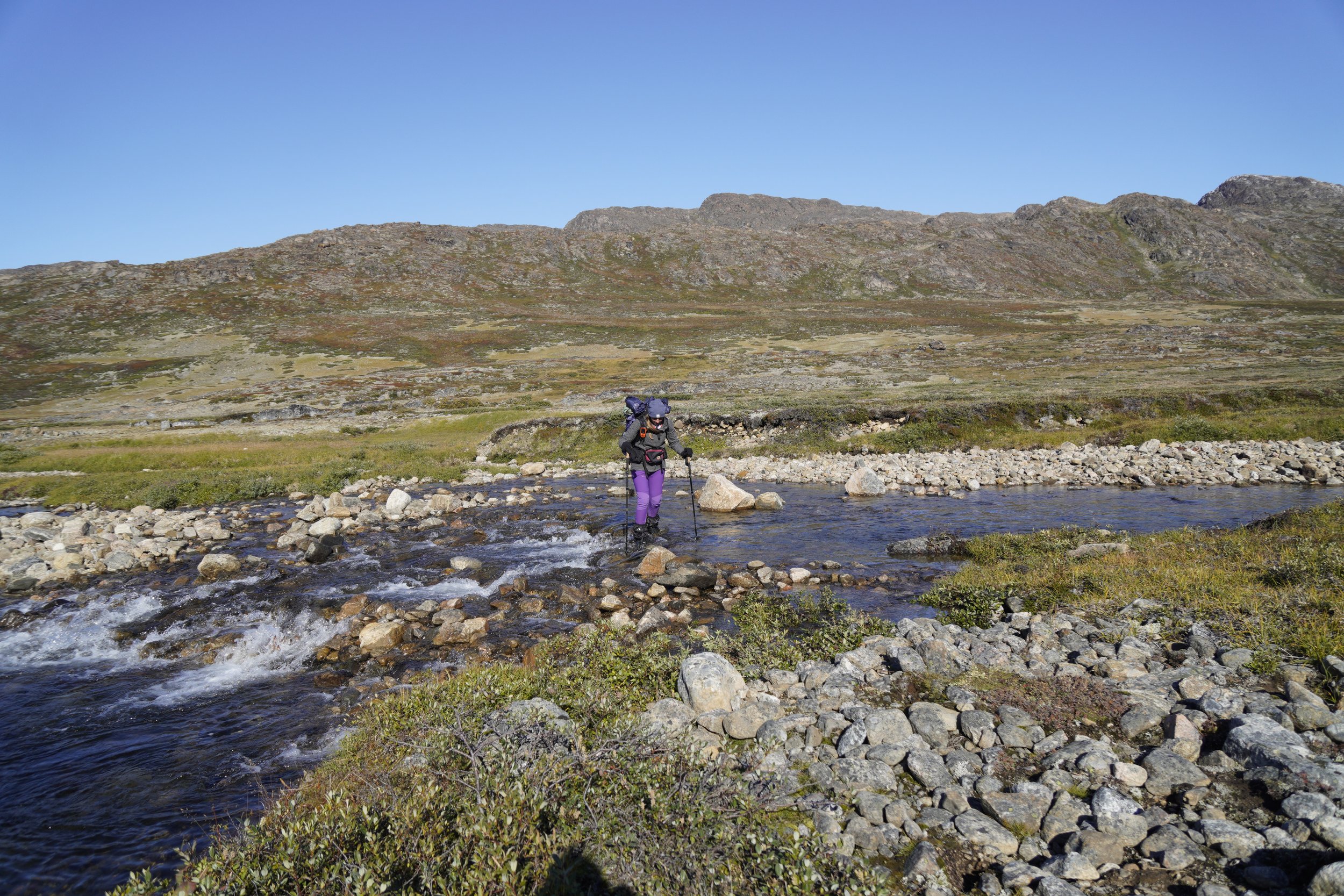
There is only one minor challenge along this stage, hence the crossing of a path covered with tall bushes. With a bit of patience and determination, it will soon be over. We also had to cross a river which was very slow and not deep at all. We could cross it without getting our feet wet, but maybe we were lucky, as it was September and weather was rather good for the previous days. When we spotted Kangerluarsuk Tulleq, we fell into a beginners trap. As we were a bit impatient to reach the hut, we decided to take a short cut and walk straight towards it. That was definitely a bad decision, since we walked through a deep and “invisible“ swamp… our feet were not dry anymore, of course.
MEMORIES
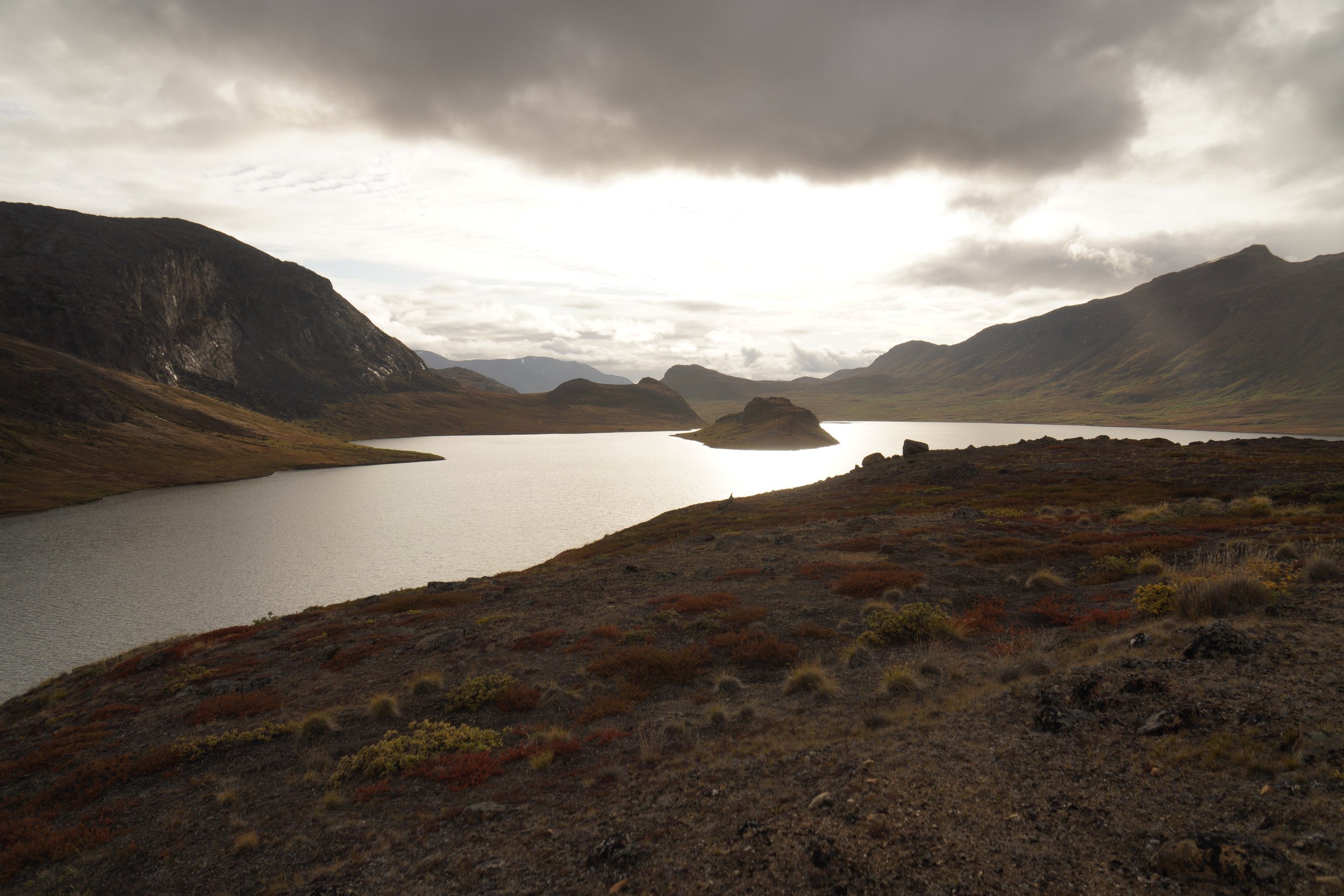
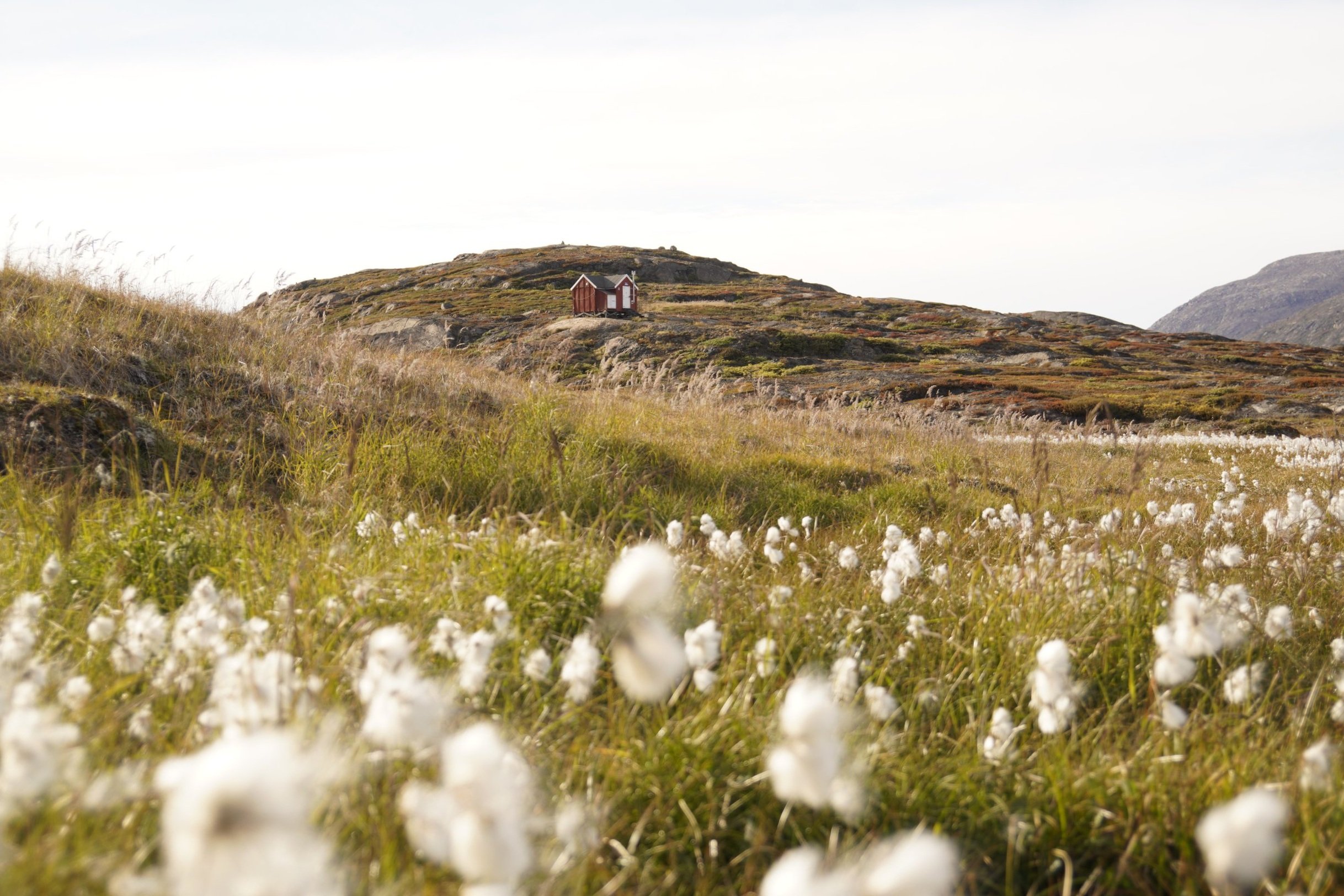
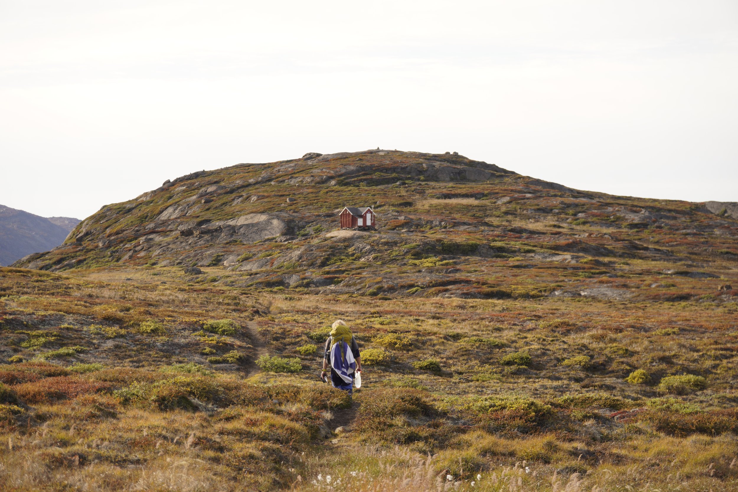
As we left Nerumaq, the constructions workers were so kind to stop the machines and to let us pass without noise. We had a break at the river, where we enjoyed observing arctic chars swimming peacefully against the current. The hut at Kangerluarsuk Tulleq was one of our favorites, overlooking the fjords. For the first time, we shared the hut with a hiker who was walking the trail in the opposite direction. We really enjoyed the social evening, as we chatted about our dreames of travelling the world.
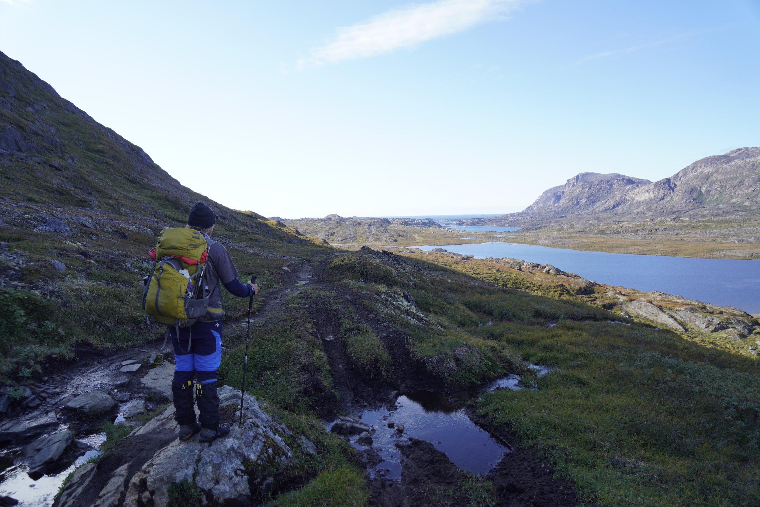
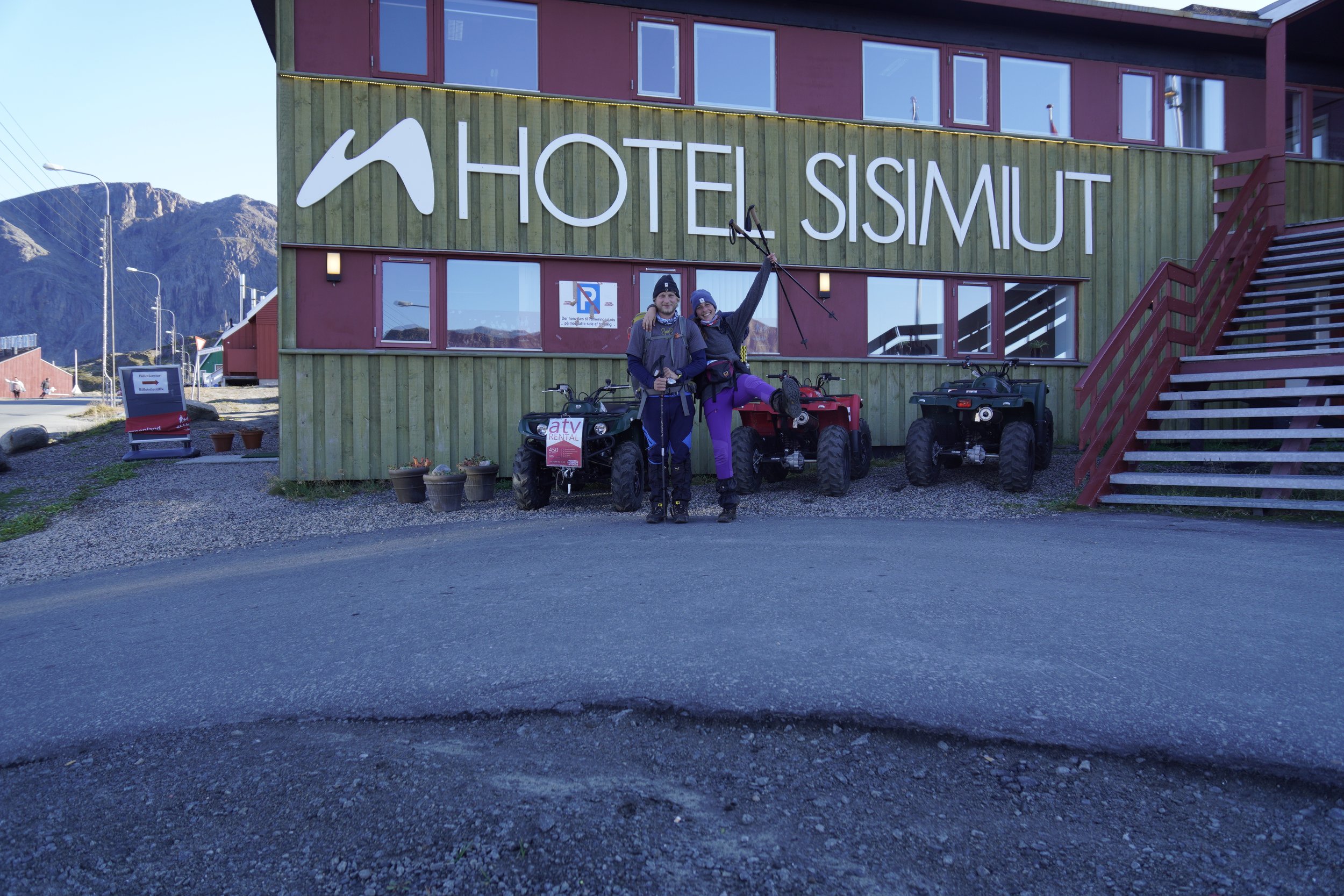
STAGE 7: KANGERLUARSUK TULLEQ - SISIMIUT
Distance: 20 km
Elevation Gain: 600 m
Elevation Loss: 725
Walking Time: 5h 30min
IMPORTANT REMARKS
This last stage of the ACT could potentially be combined with an ascent of the mountain Nasasaaq, described under Variants. However, since snow fell down overnight and we were not aware about possible icy conditions at the top, we decided not to risk it.
MEMORIES
A storm arrived in the night and covered the mountains with a thin white layer of snow. During this last stage, we realized how much we were going to miss the trail. We indeed had a small shock as we arrived in Sisimiut. The noise of the roads, the cars, the people, the covid masks and SMS notifications were at first a bit too much to take in, after spending 7 days surrounded by the wonderful silence of nature, out of civilization. A new adventure began right away, as we struggled to come back to reality.
Alternative Start Points
ICE CAP (POINT 660)
An optional and rather epic start point of the Arctic Circle Trail would be at Point 660, at the edges of Greenland’s ice cap. This part of the trail, distancing 37 km from Kangerlussuaq, can be walked along a dirt road, mainly used for 4WD vehicle excursions.
RUSSELS GLACIER
This start point allows you to reach Kangerlussuaq in one day (25 km), by skipping the first 12 km from the ice cap and following the same dirt road.
KANGERLUSSUAQ
Most of the hikers start their journey on the ACT directly from Kangerlussuaq and end their first stage (20 km) at Hundesø, an old caravan serving as a hut. The first 16 km of this stage are along a dirt road until Kelly Ville, our chosen start point. From Hundesø, the next stage would be 20 km long, until Katiffik.
East to West or West to East
The ACT, as any other thru hike, can be walked in both directions, starting either from Kangerlussuaq or from Sisimiut. Hikers mostly choose to start their adventure from Kangerlussuaq and walk towards the ocean, as the landscapes become more and more beautiful in this direction.
Variants
At the end of the ACT, shortly before reaching Sisimiut, there is the possibility to climb 800 m to the top of the majestic mountain Nasasaaq, following a trail marked with blue painted cairns. The summit is quite steep and rocky, and the use of fixed ropes is needed for the final access to the top. The views from the top of Nasasaaq are supposed to be epic, but unfortunately we didn’t want to risk the climb, since it snowed the night before and we feared the icy conditions on the summit.
ATV Road
When we hiked the ACT in 2021, a new ATV road between Kangerlussuaq and Sisimiut was still under construction. This road is a project for better connecting the two towns, with the hope of boosting their economy and touristic activities. We felt a bit frustrated when, suddenly, we lost trace of the trail and had to scramble through the dirt of this road. On one hand, we found it very sad that the peaceful and untouched nature of the ACT was ruined in this way. On the other hand, we tried to look at the brightside, hoping that this road will allow for a better maintenance of the trail and that it will become easier to clean the huts and remove the trash surrounding them.
The road has been completed in 2022 and intersects parts of the trail between Eqalugaarniarfik and Sisimiut. A new ACT deviation, connecting Eqalugaarniarfik to Kangerluarsuk Tulleq, is also on the way of being established, for allowing hikers to stay fully immersed in the nature of the trail.
Trail Map and GPX File
Here you can find a map that I customized using AllTrails, showing an overview of our stages along the ACT. In case the view of the map is not optimal, you can try to re-select the display mode of the map. You can click on the first map title to head to the AllTrails website, where all the waypoints are described.
This is the GPX file we used on the trail for our navigation device.
Want to read more about the
Arctic Circle Trail?